Murfreesboro in Rutherford County, Tennessee — The American South (East South Central)
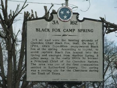
Black Fox Camp Spring
1/2 mi. east were the hunting grounds of Cherokee Chief Black Fox, Inali. On Sept. 7, 1794, Ore's Expedition overpowered Black Fox at the spring. According to legend, to avoid capture Black Fox leaped into the spring and emerged from Murfree Spring, 3 miles away. In the early 1800s he became a Principal Chief of the Cherokee Nations. The area was one of the first communities settled in Rutherford County. The spring was a resting site for the Cherokees during the Trail of Tears.
Erected by Tennessee Historical Commission. (Marker Number 3A 162.)
Topics and series. This historical marker is listed in these topic lists: Native Americans • Settlements & Settlers. In addition, it is included in the Tennessee Historical Commission, and the Trail of Tears series lists. A significant historical month for this entry is September 1864.
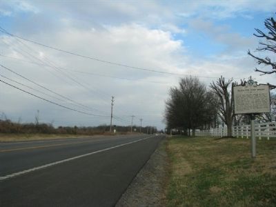
Location. 35° 48.199′ N, 86° 21.85′ W. Marker is in Murfreesboro, Tennessee, in Rutherford County. Marker is at the intersection of Murfreesboro Highway (U.S. 41) and Red Mile Road, on the right when traveling north on Murfreesboro Highway. Touch for map. Marker is in this post office area: Murfreesboro TN 37127, United States of America. Touch for directions.
Other nearby markers. At least 8 other markers are within 3 miles of this marker, measured as the crow flies. Murfreesboro (approx. 1.4 miles away); George Smith Patton, Jr. (approx. 1.9 miles away); In Memory of Benjamin Liddon (approx. 2.2 miles away); Holloway High School (approx. 2.7 miles away); Benevolent Cemetery (approx. 2.7 miles away); Murfree Spring (approx. 2.7 miles away); Into the Modern Era (approx. 2.7 miles away); A More Healthy Community (approx. 2.7 miles away). Touch for a list and map of all markers in Murfreesboro.
Also see . . . Chief Black Fox. (Submitted on December 31, 2009, by Tom Gillard of Tullahoma, Tennessee.)
Credits. This page was last revised on April 20, 2023. It was originally submitted on December 31, 2009, by Tom Gillard of Tullahoma, Tennessee. This page has been viewed 2,713 times since then and 121 times this year. Last updated on April 10, 2015, by J. Makali Bruton of Accra, Ghana. Photos: 1, 2. submitted on December 31, 2009, by Tom Gillard of Tullahoma, Tennessee. • Bill Pfingsten was the editor who published this page.

