Vails Gate in Orange County, New York — The American Northeast (Mid-Atlantic)
The Ellison Gristmill
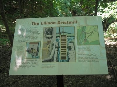
The mill itself was probably three stories high, containing two sets of millstones for grinding grains, such as wheat and corn, into flour or meal. Power to turn the stones was transmitted from the waterwheel through shafts and gears within the mill.
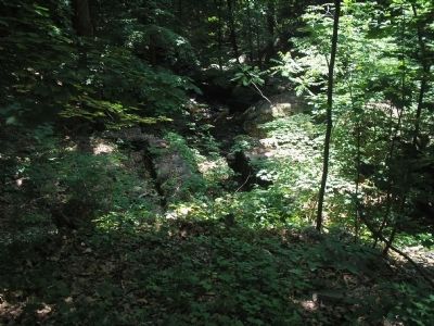
A miller and one or more assistants regulated the entire process. The rumble of the mill and the sound of cascading water filled the Silver Stream gorge whenever the mill was in operation.
Erected by Knox’s Headquarters State Historic Site.
Topics. This historical marker is listed in these topic lists: Colonial Era • Notable Places. A significant historical year for this entry is 1741.
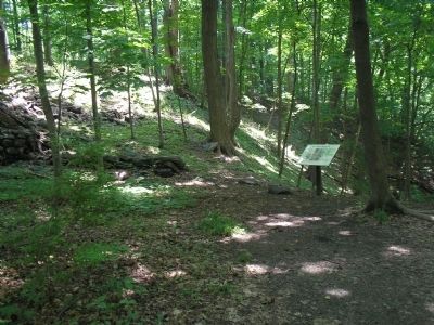
Location. 41° 27.259′ N, 74° 3.009′ W. Marker is in Vails Gate, New York, in Orange County. Marker can be reached from Forge Hill Road, on the right when traveling east. Marker is located on a trail in Knox’s Headquarters State Historic Site. Touch for map. Marker is in this post office area: Vails Gate NY 12584, United States of America. Touch for directions.
Other nearby markers. At least 8 other markers are within 2 miles of this marker, measured as the crow flies. The King’s Highway (within shouting distance of this marker); Knox Headquarters (about 500 feet away, measured in a direct line); Vails Gate, N.Y. (approx. 0.2 miles away); Edmonston House (approx. 0.6 miles away); The Forge (approx. 0.7 miles away); Brewster Forge Site (approx. 0.7 miles away); Camps of 1782-83 (approx. 1.2 miles away); Freedom Road (approx. 1.3 miles away). Touch for a list and map of all markers in Vails Gate.
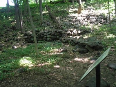
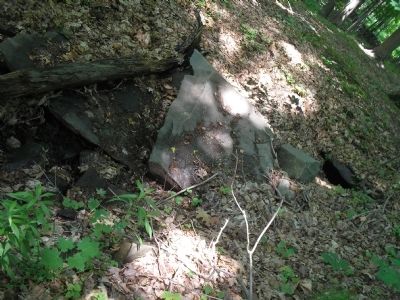
More about this marker. The marker contains two pictures of the gristmill with the caption "Although no original illustration of the Ellison gristmill is known to exist, water from the raceway may have reached the wheel via a flume in this manner. An artist’s conception from an original black and white drawing by Edward Clancy." A caption below the second picture is "The waterwheel and gearing of the Ellison gristmill probably fit into the stone ruins below in this manner. An artists conception based on practices followed in other 18th-century gristmills, from an original black and white drawing by Edward Clancy."
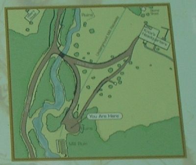
The upper right of the marker features a map of the area,
with the caption "The topography bordering the Silver Stream was ideal for the Ellison gristmill and its raceway from an upstream millpond. The Ellison House overlooked the complex. Detail from a map of Knox’s Headquarters State Historic Site, prepared by Korski Engineers, P.C., Syracuse, N.Y., 1975."
Credits. This page was last revised on June 16, 2016. It was originally submitted on June 8, 2008, by Bill Coughlin of Woodland Park, New Jersey. This page has been viewed 1,057 times since then and 17 times this year. Photos: 1, 2, 3, 4, 5, 6. submitted on June 8, 2008, by Bill Coughlin of Woodland Park, New Jersey.
