Birmingham Township near West Chester in Chester County, Pennsylvania — The American Northeast (Mid-Atlantic)
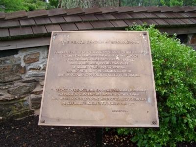
The Peace Garden at Birmingham
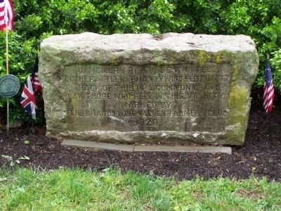
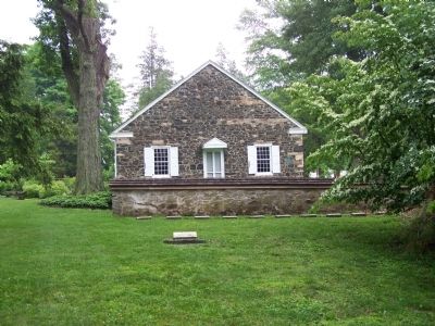
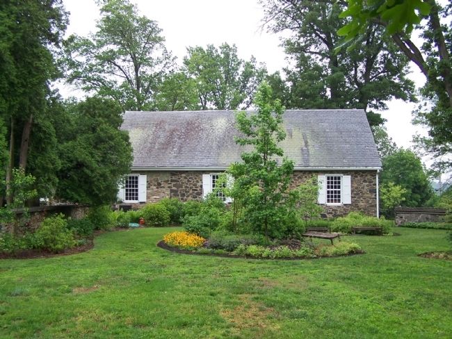
During the Battle of the Brandywine on September 11, 1777, the American Army used the walls of this Quaker Burial Ground in their first line of defense. Both armies used this meetinghouse of Quaker pacifists as a hospital. Behind the wall is the common grave of British and American soldiers killed in the battle.
The Peace Garden at Birmingham surrounding this grave is a place to contemplate a world without war. This site is dedicated to the imperative need to employ peaceful alternatives to deadly conflict.
Erected 2005.
Topics and series. This historical marker is listed in these topic lists: Cemeteries & Burial Sites • Churches & Religion • Peace • War, US Revolutionary. In addition, it is included in the Quakerism series list. A significant historical date for this entry is September 11, 1777.
Location. 39° 54.355′ N, 75° 35.653′ W. Marker is near West Chester, Pennsylvania, in Chester County. It is in Birmingham Township. Marker is on Birmingham Road, on the right when traveling north. Marker is on the grounds of Birmingham Meeting House. Touch for map. Marker is at or near this postal address: 1245 Birmingham Rd, West Chester PA 19382, United States of America. Touch for directions.
Other nearby markers. At least 8 other markers are within walking distance of this marker. Gen's Lafayette and Pulaski (within shouting distance of this marker); In Memory of Those Who Fell (within shouting distance of this marker); First Defense Line (within shouting distance of this marker); On This Native Stone (within shouting distance of this marker); The Friends School at Birmingham Meeting House (within shouting distance of this marker); Birmingham Friends Meeting House (within shouting distance of this marker); The Battle of the Brandywine Foot Soldiers (about 500 feet away, measured in a direct line); Birmingham Hill (about 800 feet away). Touch for a list and map of all markers in West Chester.
Credits. This page was last revised on February 7, 2023. It was originally submitted on June 8, 2008, by Bill Pfingsten of Bel Air, Maryland. This page has been viewed 2,070 times since then and 23 times this year. Last updated on February 8, 2022, by Carl Gordon Moore Jr. of North East, Maryland. Photos: 1, 2, 3, 4. submitted on June 8, 2008, by Bill Pfingsten of Bel Air, Maryland. • J. Makali Bruton was the editor who published this page.


