Murfreesboro in Rutherford County, Tennessee — The American South (East South Central)
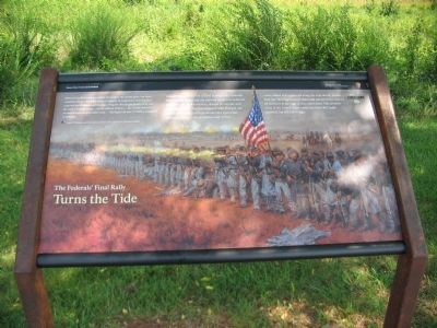
The Federals' Final Rally Turns the Tide
— December 31, 1862 - Afternoon —
James Williamson, lieutenant colonel, 2nd Arkansas Mounted Rifles
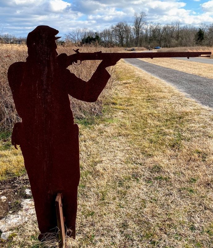
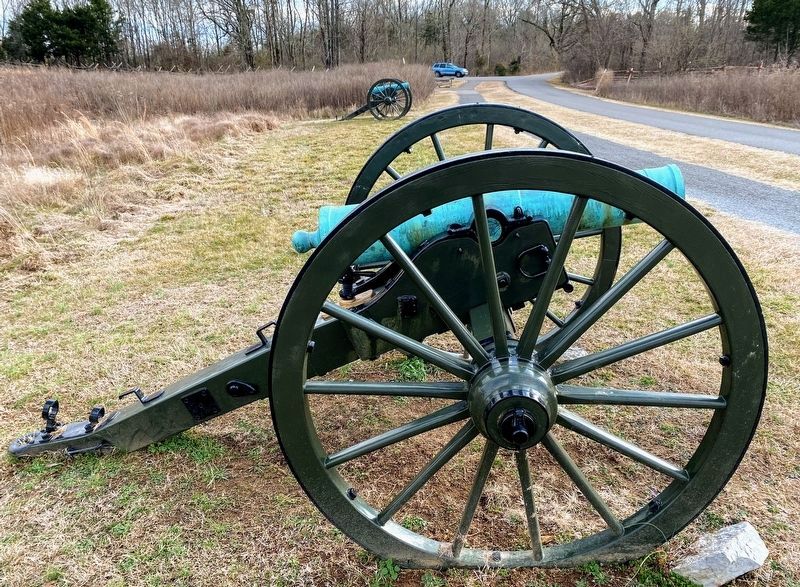
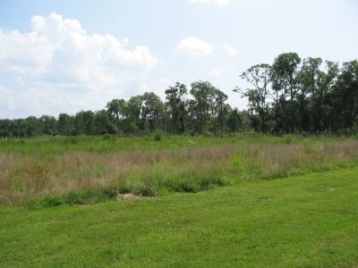
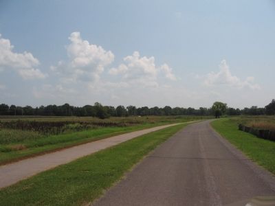
Imagine the narrow belt of land between the Nashville Pike you see ahead and the railroad tracks just behind it jammed with 30,000 soldiers, dozens of cannon, and endless wagons. The Confederates who charged out of the center into this field would have seen what seemed to them an endless wall of blue coats, rallied and reinforced along the road ahead. For the Federals, the long hours of chaos and retreat at last came to an end here at the edge of this cotton field. This western army of the United States ended the year 1862 badly battered, but still full of fight.
Erected by Stones River National Battlefield - National Park Service - U.S. Department of the Interior.
Topics. This historical marker is listed in this topic list: War, US Civil. A significant historical year for this entry is 1862.
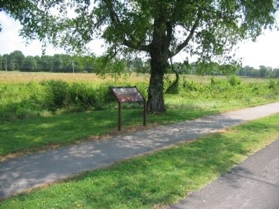
Location. 35° 52.656′ N, 86° 25.946′ W. Marker is in Murfreesboro, Tennessee, in Rutherford County. Marker is on Park Road, on the left when traveling east. Located along the Cotton Field Trail, just before stop one, the Eve of Battle, on the driving tour of Stones River National Battlefield. Touch for map. Marker is in this post office area: Murfreesboro TN 37129, United States of America. Touch for directions.
Other nearby markers. At least 8 other markers are within walking distance of this marker. Parsons' Batteries Heavily Engaged (about 700 feet away, measured in a direct line); Exploring the Promise of Freedom (about 800 feet away); Waiting Anxiously for Tomorrow's Fate (approx. 0.2 miles away); This Far, But No Farther (approx. 0.2 miles away); In Battle, Good Men Die (approx. 0.2 miles away); The Fight for the Cedars (approx. 0.2 miles away); This "Precious Dust" (approx. 0.2 miles away); God has granted us a Happy New Year! (approx. ¼ mile away). Touch for a list and map of all markers in Murfreesboro.
Also see . . . Stones River National Battlefield. National Park Service web site. (Submitted on October 31, 2010, by Craig Swain of Leesburg, Virginia.)
Credits. This page was last revised on March 15, 2021. It was originally submitted on October 31, 2010, by Craig Swain of Leesburg, Virginia. This page has been viewed 832 times since then and 16 times this year. Last updated on April 21, 2015, by J. Makali Bruton of Accra, Ghana. Photos: 1. submitted on October 31, 2010, by Craig Swain of Leesburg, Virginia. 2, 3. submitted on March 13, 2021, by Shane Oliver of Richmond, Virginia. 4, 5, 6. submitted on October 31, 2010, by Craig Swain of Leesburg, Virginia. • Bill Pfingsten was the editor who published this page.
