Near Hancock in Washington County, Maryland — The American Northeast (Mid-Atlantic)
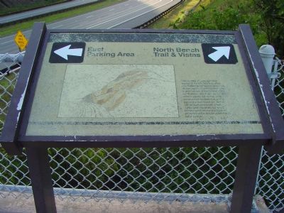
Sideling Hill Cut North Bench
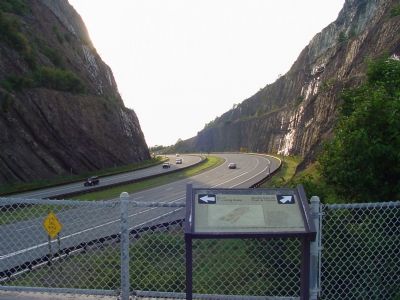
The sweep of geologic time exposed by this 380 foot slice into Sideling Hill spans about 20 million years. From the dark gray marine rocks at the far end of the north slope which are about 36 million years old, to the white continental sandstones at the top of the cut which are about 340 million years old, seas, rivers and marshes have left behind sediments in a layered story of the earth’s formation and reformation.
Topics. This historical marker is listed in this topic list: Natural Features.
Location. Marker has been reported missing. It was located near 39° 43.118′ N, 78° 16.86′ W. Marker was near Hancock, Maryland, in Washington County. Marker was on the westbound Sideling Hill Visitors Center (Interstate 68 at milepost 75) near Exit 77 (Maryland Route 144), on the right when traveling west. Marker can also be reached from the eastbound Rest Area by crossing the footbridge. Touch for map. Marker was in this post office area: Hancock MD 21750, United States of America. Touch for directions.
Other nearby markers. At least 5 other markers are within walking distance of this location. Gettysburg Campaign (within shouting distance of this marker); The National Road (within shouting distance of this marker); The Challenge of Sideling Hill (within shouting distance of this marker); Sideling Hill Cut South Bench (within shouting distance of this marker); Interstate 68 Maryland Vietnam Memorial (about 400 feet away, measured in a direct line). Touch for a list and map of all markers in Hancock.
Also see . . . Geology of the Sideling Hill Road Cut. Maryland Geological Survey website entry (Submitted on January 21, 2007.)

Photographed By Devry Becker Jones (CC0), July 12, 2020
2. Sideling Hill Cut North Bench Marker
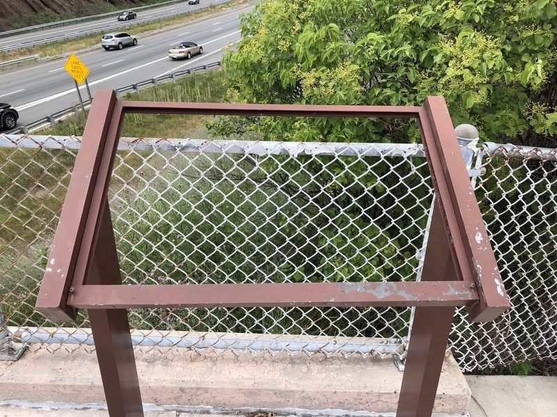
Unfortunately the marker is missing.
Credits. This page was last revised on February 15, 2022. It was originally submitted on January 21, 2007, by J. J. Prats of Powell, Ohio. This page has been viewed 2,602 times since then and 14 times this year. Photos: 1. submitted on January 21, 2007, by J. J. Prats of Powell, Ohio. 2. submitted on July 14, 2020, by Devry Becker Jones of Washington, District of Columbia. 3, 4. submitted on January 21, 2007, by J. J. Prats of Powell, Ohio.


