Clare Valley, Saint Andrew, Saint Vincent and the Grenadines — Caribbean Region of the Americas (Lesser Antilles in the West Indies)
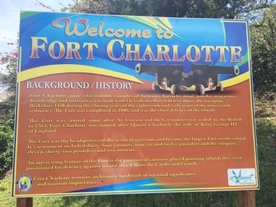
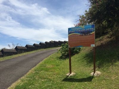
Welcome to Fort Charlotte
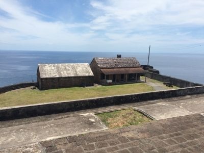
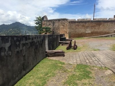
Fort Charlotte, once a formidable complex of batteries, barracks, moat, powder, magazines, drawbridge and outworks, was built with Herculean effort 636 feet above the sea upon Berkshire Hill during the closing years of the eighteenth and early years of the nineteenth centuries. The Fort was completed in 1806, and was the chief defence of the island.
The Fort was started soon after St. Vincent and the Grenadines was ceded to the British in 1763. Fort Charlotte was named after Queen Charlottle [sic] the wife of King George III of England.
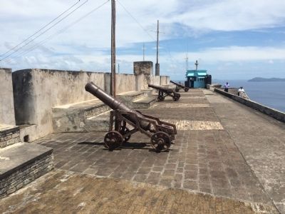
The Fort was the headquarters of the resident garrison, and became the largest Fort on the island. It's armament included thirty-four cannons, four, six and twelve pounders and the rampart, eleven, thirty-two pounders and two mortars.
An interesting feature of the Fort is the position of cannons placed pointing inland; they were positioned for defence against inland attack from the Caribs and French.
Fort Charlotte remains an historic landmark of national significance and tourism importance.
Topics. This memorial is listed in this topic list: Forts and Castles. A significant historical year for this entry is 1806.
Location. 13° 9.467′ N, 61° 14.506′ W. Marker is in Clare Valley, Saint Andrew. Memorial is on Edinboro Road. Touch for map. Touch for directions.
Other nearby markers. At least 6 other markers are within 18 kilometers of this marker, measured as the crow flies. King Jugbo-Jugbo Fem (about 120 meters away, measured in a direct line); Fort Charlotte (approx. 0.3 kilometers away); Kingston Methodist Church (approx. 1.5 kilometers away in Saint George); Saint Vincent World War I Monument (approx. 1.8 kilometers away in Saint George); Kingstown Old Public Library (approx. 2.1 kilometers away in Saint George); Byera Tunnel (approx. 17.3 kilometers away in Charlotte).
Credits. This page was last revised on October 3, 2016. It was originally submitted on April 24, 2015, by J. Makali Bruton of Accra, Ghana. This page has been viewed 613 times since then and 66 times this year. Photos: 1, 2, 3, 4, 5. submitted on April 24, 2015, by J. Makali Bruton of Accra, Ghana. • Andrew Ruppenstein was the editor who published this page.
