Pigeon Island, Gros Islet, Saint Lucia — Caribbean Region (Lesser Antilles)
Josset's House
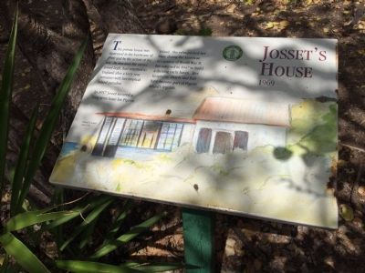
Jossetís House 1969
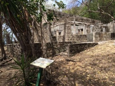
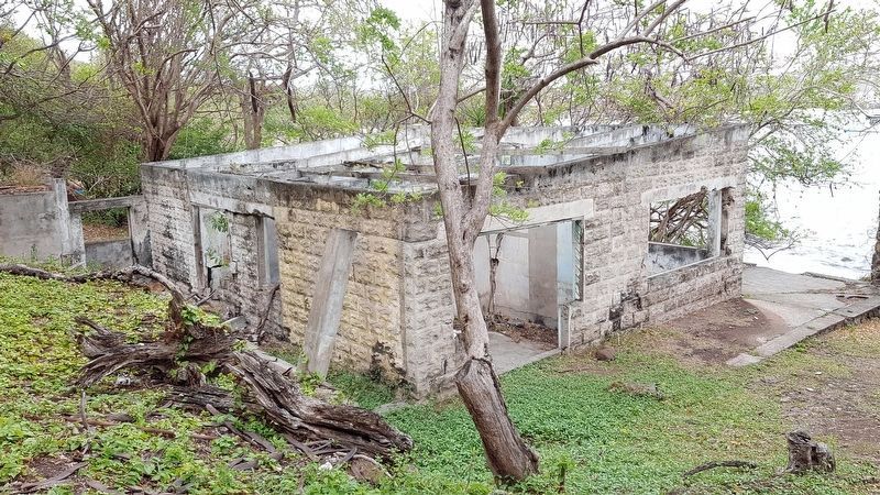
This private house was destroyed in the hurricane of 1980 and by the action of the sea. By that time the owner, Josset Legh, had returned to England after a forty-year romance with her tropical island paradise.
In 1937 Josset secured a long term lease for Pigeon Island. She relinquished her lease during the American occupation of World War II, but returned in 1947 to build a thriving yacht haven. Her hospitality, charm and flair have become part of Pigeon Islandís legends.
Caption:
Painted by Josset circa 1950
Erected by Saint Lucia National Trust.
Topics. This historical marker is listed in this topic list: Settlements & Settlers. A significant historical year for this entry is 1969.
Location. 14° 5.463′ N, 60° 57.912′ W. Marker is on Pigeon Island, Gros Islet. This marker is at Pigeon Island Natural Landmark, on the path towards the Carib Caves. Touch for map. Marker is in this post office area: Pigeon Island, Gros Islet LC01 101, Saint Lucia. Touch for directions.
Other nearby markers. At least 8 other markers are within walking distance of this marker. Carib Caves (about 120 meters away, measured in a direct line); U.S. Signal Station (about 120 meters away); Musket Redoubt (about 120 meters away); Fort Rodney (about 180 meters away); Lime Kiln (about 180 meters away); Cooperage (about 210 meters away); Gunslide (about 240 meters away); C.O.'s Quarters (approx. 0.3 kilometers away). Touch for a list and map of all markers in Pigeon Island.
Credits. This page was last revised on April 22, 2018. It was originally submitted on April 26, 2015, by J. Makali Bruton of Accra, Ghana. This page has been viewed 757 times since then and 95 times this year. Photos: 1, 2. submitted on April 26, 2015, by J. Makali Bruton of Accra, Ghana. 3. submitted on April 22, 2018, by J. Makali Bruton of Accra, Ghana. • Andrew Ruppenstein was the editor who published this page.


