Pigeon Island, Gros Islet, Saint Lucia — Caribbean Region (Lesser Antilles)
Soldiers' Barracks
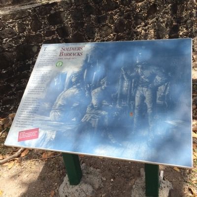
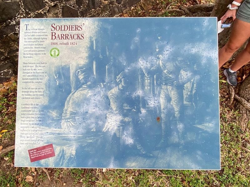
Soldiers’ Barracks 1808, rebuilt 1824
The colonial struggle between Britain and France and her allies continued into the 1800s, although fighting was interrupted by short-lived treaties and peace settlements. British troops were still sent to garrison the far-flung outposts in the West Indies.
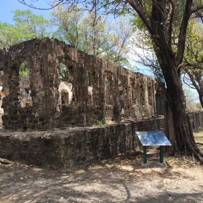
These barracks were built to hold 60 men. The two sets, built side by side, were damaged in the hurricane of 1817 and rebuilt in 1824. A kitchen between the two completed the complex.
To the left you can see the drainage along the base of the building and the water catchment and cistern.
A soldier’s life in the Caribbean was not a comfortable one – unlike today’s traveler, the military took a long time to adapt to local conditions! Eventually, however, the soldier’s hot, unsuitable clothing was replaced by tropical wear; short red jackets and close-fitting “mosquito” trousers were issued instead of long coats and breeches.
Look for the 18th-century stone coursing, the archways, and the view of Signal Peak through the arches.
Erected by Saint Lucia National Trust.
Topics. This memorial is listed in these topic lists: Colonial Era • Forts and Castles. A significant historical year for this entry is 1808.
Location. 14° 5.617′ N, 60° 57.779′ W. Marker is on Pigeon Island, Gros Islet. Touch for map. Marker is in this post office area: Pigeon Island, Gros Islet LC01 101, Saint Lucia. Touch for directions.
Other nearby markers. At least 8 other markers are within walking distance of this marker. Two-Gun Battery (within shouting distance of this marker); Officers' Quarters and Mess (within shouting distance of this marker); Officers' Kitchen (about 90 meters away, measured in a direct line); C.O.'s Quarters (about 120 meters away); Cooperage (about 180 meters away); Lime Kiln (about 180 meters away); Gunslide (about 210 meters away); Josset's House (approx. 0.4 kilometers away). Touch for a list and map of all markers in Pigeon Island.
Credits. This page was last revised on December 11, 2021. It was originally submitted on April 27, 2015, by J. Makali Bruton of Accra, Ghana. This page has been viewed 451 times since then and 12 times this year. Last updated on December 11, 2021, by J.T. Lambrou of New Boston, Michigan. Photos: 1. submitted on April 27, 2015, by J. Makali Bruton of Accra, Ghana. 2. submitted on December 11, 2021, by J.T. Lambrou of New Boston, Michigan. 3. submitted on April 27, 2015, by J. Makali Bruton of Accra, Ghana.


