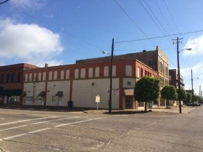
Selma in Dallas County, Alabama — The American South (East South Central)
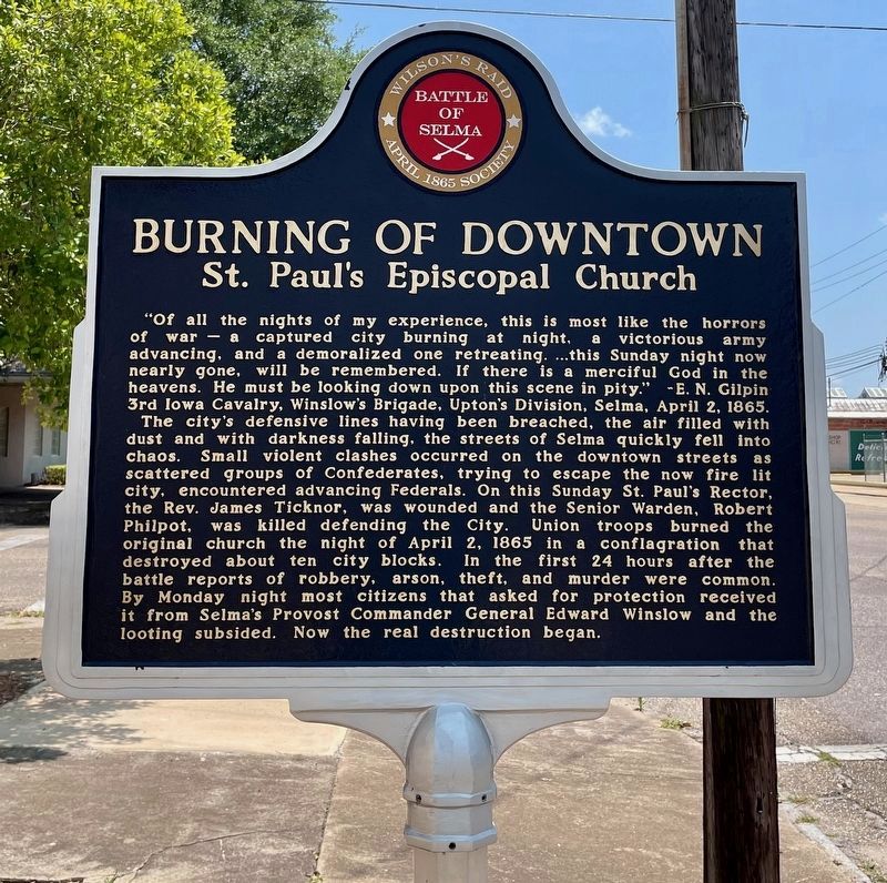
Burning of Downtown
St. Paul's Episcopal Church
— Battle of Selma —
The city's defensive lines have been breached, the air filled with dust and with darkness falling, the street of Selma quickly fell into chaos. Small violent clashes occurred on the downtown streets as scattered groups of Confederates, trying to escape the now fire lit city, encountered advancing Federals. On this Sunday St. Paul's Rector, the Rev. James Ticknor, was wounded and the Senior Warden, Robert Philpott, was killed defending the City. Union troops burned the original church the night of April 2, 1865 in a conflagration that destroyed about ten city blocks. In the first 24 hours after the battle reports of robbery, arson, theft, and murder were common. By Monday night most citizens that asked for protection received it from Selma's Provost Commander General Edward Winslow and the looting subsided. Now the real destruction began.
Erected 2014 by the April 1865 Society.
Topics. This historical marker is listed in these topic lists: Churches & Religion • War, US Civil. A significant historical date for this entry is April 2, 2007.
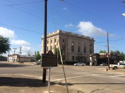
Location. 32° 24.453′ N, 87° 1.257′ W. Marker is in Selma, Alabama, in Dallas County. Marker is at the intersection of Lauderdale Street and Alabama Avenue, on the right when traveling north on Lauderdale Street. Touch for map. Marker is at or near this postal address: 114 Lauderdale Street, Selma AL 36701, United States of America. Touch for directions.
Other nearby markers. At least 8 other markers are within walking distance of this marker. Lieutenant John Tillman Melvin (within shouting distance of this marker); Federal Building and U.S. Court House (within shouting distance of this marker); The Sleeping Prophet (about 400 feet away, measured in a direct line); Votes for Women (about 400 feet away); St. Paul’s Episcopal Church Est. 1838 (about 500 feet away); Selma Army Arsenal (about 600 feet away); Ecor Bienville (about 600 feet away); Arsenal Place (about 700 feet away). Touch for a list and map of all markers in Selma.
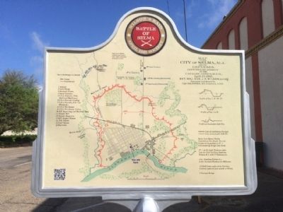
More about this marker. One of a newer interactive marker that includes QR codes that allow you to use your smartphone to see additional photos and stories.
Related marker. Click here for another marker that is related to this marker.
Credits. This page was last revised on May 28, 2023. It was originally submitted on April 28, 2015, by Mark Hilton of Montgomery, Alabama. This page has been viewed 978 times since then and 89 times this year. Photos: 1. submitted on May 28, 2023, by Mark Hilton of Montgomery, Alabama. 2. submitted on April 28, 2015, by Mark Hilton of Montgomery, Alabama. 3. submitted on May 28, 2023, by Mark Hilton of Montgomery, Alabama. 4, 5. submitted on April 28, 2015, by Mark Hilton of Montgomery, Alabama.
