Mount Pleasant in Northwest Washington in Washington, District of Columbia — The American Northeast (Mid-Atlantic)
Upheaval and Activism
Village in the City
— Mount Pleasant Heritage Trail —
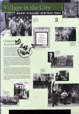
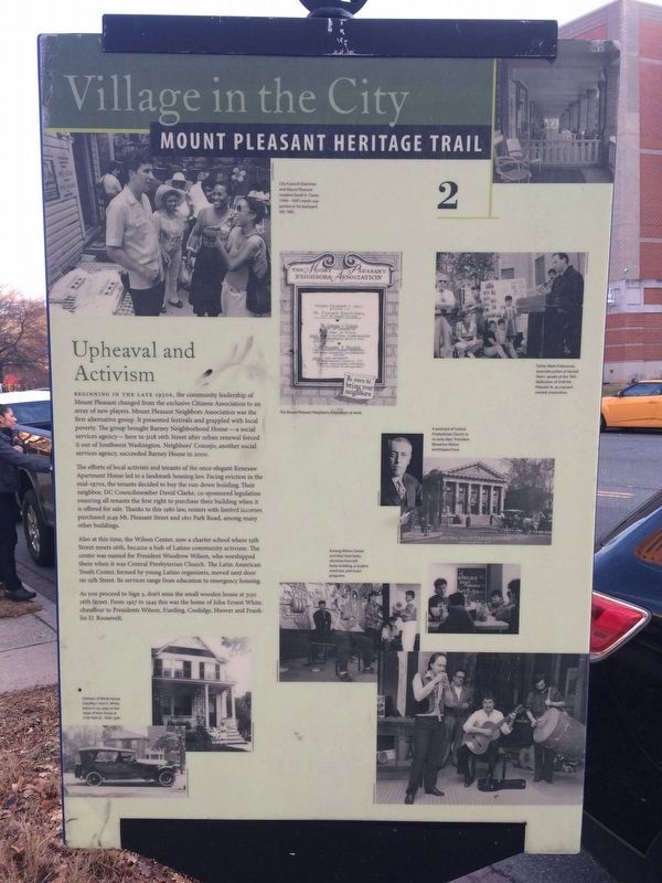
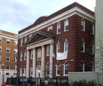
Beginning in the late 1950s, the community leadership of Mount Pleasant changed from the exclusive Citizens Association to an array of new players. Mount Pleasant Neighbors Association was the first alternative group. It presented festivals and grappled with local poverty. The group brought Barney Neighborhood House – a social services agency – here to 3118 16th Street after urban renewal forced it out of Southwest Washington. Neighbors’ Consejo another social services agency, succeeded Barney House in 2000.
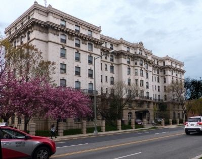
The efforts of local activists and tenants of the once elegant Kenesaw Apartment House led to a landmark housing law. Facing eviction in the mid-1970s, the tenants decided to buy the run-down building. Their neighbor, DC Councilmember David Clarke, co-sponsored legislation ensuring all tenants the first right to purchase their building when it is offered for sale. Thanks to this 1980 law, renters with limited incomes purchased 3149 Mt. Pleasant Street and 1611 Park Road, among many other buildings.
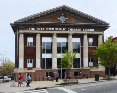
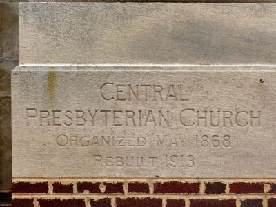
Also at this time, the Wilson Center, now a charter school where 15th Street meets 16th, became a hub of Latino community activism. The center was named for Woodrow Wilson, who worshipped there when it was Central Presbyterian Church. The Latin American Youth Center, formed by young Latino organizers, moved next door on 15th Street. It services range from education to emergency housing.
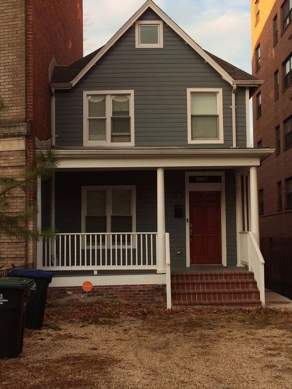
As you proceed to Sign 3, don't miss the small wooden house at 3130 16th Street. From 1927 to 1945 this was the home of John Ernest White, chauffeur to Presidents Wilson, Harding, Coolidge, Hoover and Franklin D. Roosevelt.
Erected by Cultural Tourism DC. (Marker Number 2.)
Topics and series. This historical marker is listed in these topic lists: African Americans • Churches & Religion • Government & Politics • Hispanic Americans • Roads & Vehicles. In addition, it is included in the Former U.S. Presidents: #28 Woodrow Wilson, the Former U.S. Presidents: #29 Warren G. Harding, the Former U.S. Presidents: #30 Calvin Coolidge, the Former U.S. Presidents: #31 Herbert Hoover, the Former U.S. Presidents: #32 Franklin D. Roosevelt, and the Mount Pleasant Heritage Trail series lists. A significant historical year for this entry is 1950.
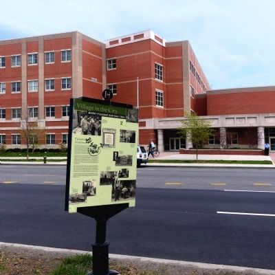
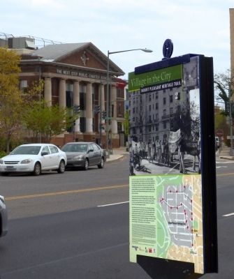
Location. 38° 55.757′ N, 77° 2.194′ W. Marker is in Northwest Washington in Washington, District of Columbia. It is in Mount Pleasant. Marker is on 16th Street Northwest north of Irving Street Northwest, on the left when traveling north. Touch for map. Marker is at or near this postal address: 3118 16th Street Northwest, Washington DC 20010, United States of America. Touch for directions.
Other nearby markers. At least 8 other
Credits. This page was last revised on January 30, 2023. It was originally submitted on April 30, 2015, by Allen C. Browne of Silver Spring, Maryland. This page has been viewed 574 times since then and 19 times this year. Last updated on April 19, 2020, by Bruce Guthrie of Silver Spring, Maryland. Photos: 1. submitted on April 30, 2015, by Allen C. Browne of Silver Spring, Maryland. 2. submitted on December 24, 2017, by Devry Becker Jones of Washington, District of Columbia. 3, 4, 5, 6, 7, 8. submitted on April 30, 2015, by Allen C. Browne of Silver Spring, Maryland. 9. submitted on December 24, 2017, by Devry Becker Jones of Washington, District of Columbia. 10, 11, 12. submitted on April 30, 2015, by Allen C. Browne of Silver Spring, Maryland. • Devry Becker Jones was the editor who published this page.
