Sergeantsville in Hunterdon County, New Jersey — The American Northeast (Mid-Atlantic)
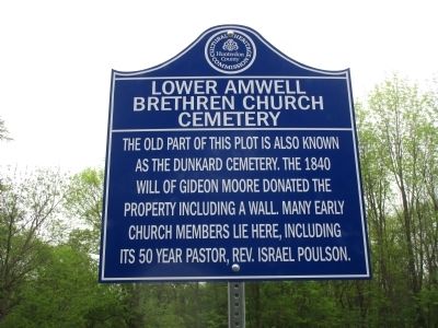
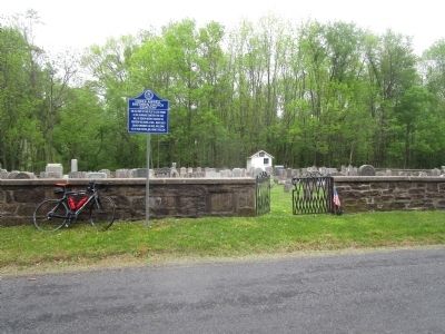
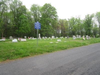
Lower Amwell Brethren Church Cemetery
Erected by Hunterdon County Cultural And Heritage Commission.
Topics and series. This historical marker is listed in this topic list: Cemeteries & Burial Sites. In addition, it is included in the New Jersey, Hunterdon County Cultural and Heritage Commission series list. A significant historical year for this entry is 1840.
Location. 40° 26.87′ N, 74° 54.816′ W. Marker is in Sergeantsville, New Jersey, in Hunterdon County. Marker is on Sandbrook Headquarters Road, on the right when traveling north. Touch for map. Marker is in this post office area: Sergeantsville NJ 08557, United States of America. Touch for directions.
Other nearby markers. At least 8 other markers are within 3 miles of this marker, measured as the crow flies. Sergeantsville First Brethren Church (approx. 1.4 miles away); The Velodrome (approx. 1.4 miles away); Delaware Twp. Hall (approx. 1.6 miles away); Delaware Township Veterans (approx. 1.6 miles away); Servis-Quick Family Cemetery (approx. 2.1 miles away); Barber Cemetery (approx. 2.1 miles away); Black River and Western Railroad (approx. 2.2 miles away); Ringoes (approx. 2.3 miles away). Touch for a list and map of all markers in Sergeantsville.

Photographed By Alan Edelson, May 9, 2015
2. Lower Amwell Brethren Church Cemetery Marker #2
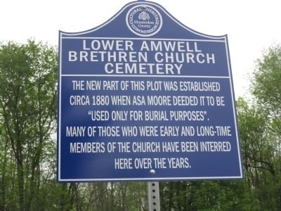
The new part of this plot was established circa 1880 when ASA Moore deeded it to be "used only for burial purposes". Many of those who were early and long-time members of the church have been interred here over the years.
Credits. This page was last revised on June 16, 2016. It was originally submitted on May 9, 2015, by Alan Edelson of Union Twsp., New Jersey. This page has been viewed 434 times since then and 27 times this year. Photos: 1, 2, 3, 4. submitted on May 9, 2015, by Alan Edelson of Union Twsp., New Jersey. • Bill Pfingsten was the editor who published this page.


