Franklin in Williamson County, Tennessee — The American South (East South Central)
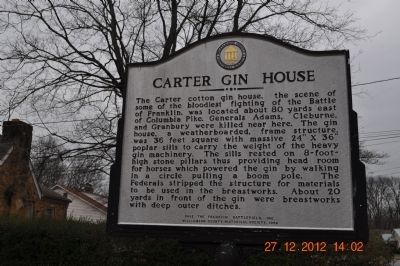
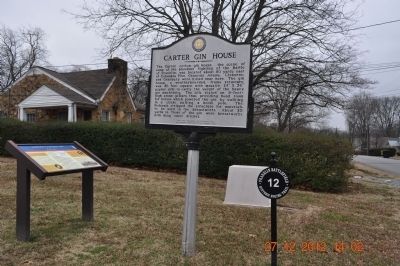
Carter Gin House
Erected 1995 by Save the Franklin Battlefield Inc. Williamson County Historical Society.
Topics and series. This historical marker is listed in this topic list: War, US Civil. In addition, it is included in the Tennessee – Williamson County Historical Society series list.
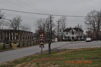
Location. Marker has been reported missing. It was located near 35° 54.926′ N, 86° 52.355′ W. Marker was in Franklin, Tennessee, in Williamson County. Marker was on Cleburne Street, on the right when traveling west . Across the street from the Cotton Gin Assault. Touch for map. Marker was in this post office area: Franklin TN 37064, United States of America. Touch for directions.
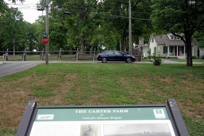
Other nearby markers. At least 8 other markers are within walking distance of this location. The Carter Farm (a few steps from this marker); a different marker also named The Carter Farm (within shouting distance of this marker); a different marker also named The Carter Farm (within shouting distance of this marker); a different marker also named The Carter Farm (within shouting distance of this marker); a different marker also named The Carter Farm (within shouting distance of this marker); a different marker also named The Carter Farm (within shouting distance of this marker); a different marker also named The Carter Farm (within shouting distance of this marker); a different marker also named The Carter Farm (about 300 feet away, measured in a direct line). Touch for a list and map of all markers in Franklin.
Credits. This page was last revised on March 12, 2020. It was originally submitted on January 3, 2013, by Sandra Hughes Tidwell of Killen, Alabama, USA. This page has been viewed 781 times since then and 27 times this year. Last updated on March 12, 2020, by Larry Gertner of New York, New York. Photos: 1, 2, 3. submitted on January 3, 2013, by Sandra Hughes Tidwell of Killen, Alabama, USA. 4. submitted on July 28, 2019, by Larry Gertner of New York, New York. • Devry Becker Jones was the editor who published this page.


