Franklin in Williamson County, Tennessee — The American South (East South Central)
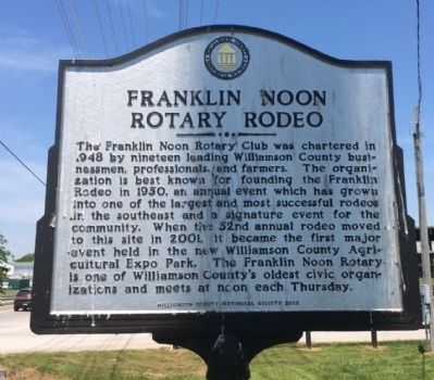
Franklin Noon Rotary Rodeo
Erected 2005 by the Williamson County Historical Society.
Topics and series. This historical marker is listed in these topic lists: Agriculture • Animals • Entertainment • Sports. In addition, it is included in the Tennessee – Williamson County Historical Society series list. A significant historical year for this entry is 1948.
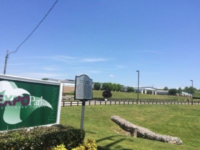
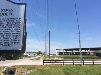
Location. 35° 51.805′ N, 86° 49.737′ W. Marker is in Franklin, Tennessee, in Williamson County. Marker is on Long Lane, 0.1 miles north of Peytonsville Road, on the right when traveling north. Touch for map. Marker is at or near this postal address: 4215 Long Lane, Franklin TN 37064, United States of America. Touch for directions.
Other nearby markers. At least 8 other markers are within 3 miles of this marker, measured as the crow flies. Tyler Berry (approx. 0.3 miles away); Franklin High School Gymnasium Windows (approx. 0.8 miles away); Hughes Mill Park (approx. 0.9 miles away); Forrest’s Recapture of Freeman’s Cannons (approx. 0.9 miles away); The Historic Shooting Range (approx. 1.1 miles away); Halfacre Reams Fleming Family Cemetery (approx. 1.1 miles away); Robert Hodge House (approx. 2.2 miles away); Epworth United Methodist Church (approx. 2.2 miles away). Touch for a list and map of all markers in Franklin.
Also see . . . Franklin Rodeo website. (Submitted on May 15, 2015, by Mark Hilton of Montgomery, Alabama.)
Credits. This page was last revised on June 16, 2016. It was originally submitted on May 15, 2015, by Mark Hilton of Montgomery, Alabama. This page has been viewed 404 times since then and 12 times this year. Photos: 1, 2, 3. submitted on May 15, 2015, by Mark Hilton of Montgomery, Alabama.


