Near Franklin in Simpson County, Kentucky — The American South (East South Central)
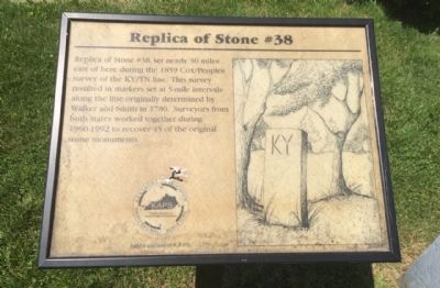
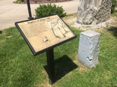
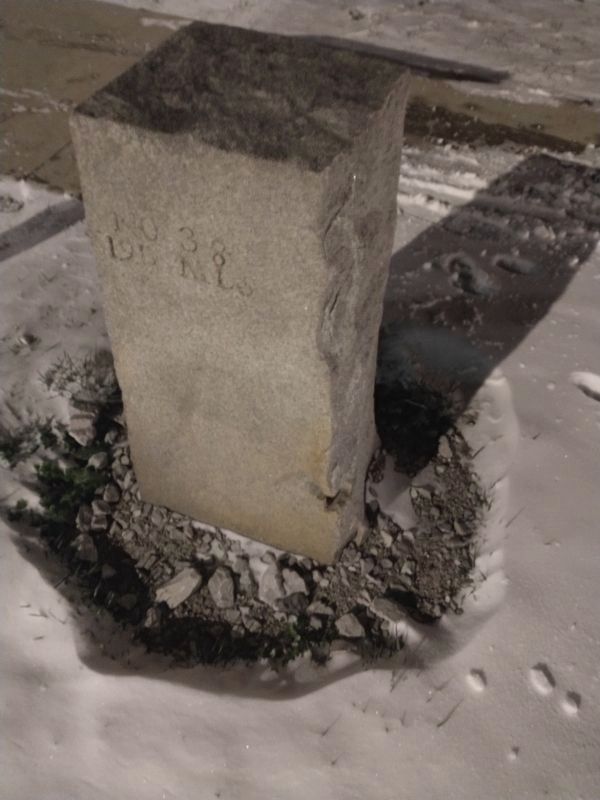
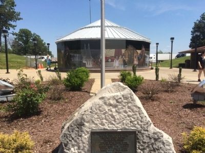
Replica of Stone #38
Erected by the Kentucky Association of Professional Surveyors.
Topics. This historical marker is listed in these topic lists: Colonial Era • Exploration. A significant historical year for this entry is 1859.
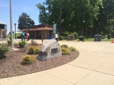
Location. 36° 38.602′ N, 86° 34.14′ W. Marker is near Franklin, Kentucky, in Simpson County. Marker can be reached from Interstate 65 at milepost 0,, 9.1 miles north of Kentucky Route 52. Located at the northbound Kentucky Welcome Center near the refreshment pavilion. Touch for map. Marker is in this post office area: Franklin KY 42134, United States of America. Touch for directions.
Other nearby markers. At least 8 other markers are within 2 miles of this marker, measured as the crow flies. Oklahoma City Bombing Memorial (a few steps from this marker); AmVets Memorial (approx. 0.6 miles away in Tennessee); Civil War in Tennessee (approx. 0.6 miles away in Tennessee); Triangular Jog (approx. ¾ mile away); Sandford Duncan Inn / Noted Dueling Ground (approx. one mile away); Duval-Groves House (approx. 1.7 miles away in Tennessee); Birthplace of T.O. Chisholm / Noted Hymn Writer (1866-1960) (approx. 1.8 miles away); "Riding into The Sunset" (approx. 1.8 miles away). Touch for a list and map of all markers in Franklin.
Credits. This page was last revised on December 25, 2022. It was originally submitted on May 15, 2015, by Mark Hilton of Montgomery, Alabama. This page has been viewed 475 times since then and 27 times this year. Photos: 1, 2. submitted on May 15, 2015, by Mark Hilton of Montgomery, Alabama. 3. submitted on December 25, 2022, by Craig Doda of Napoleon, Ohio. 4, 5. submitted on May 15, 2015, by Mark Hilton of Montgomery, Alabama.
