Bowling Green in Warren County, Kentucky — The American South (East South Central)
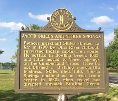
Jacob Skiles and Three Springs
Erected 1986 by the Kentucky Historical Society, Kentucky Department of Highways. (Marker Number 1792.)
Topics and series. This historical marker is listed in these topic lists: Industry & Commerce • Native Americans • Settlements & Settlers. In addition, it is included in the Kentucky Historical Society series list. A significant historical year for this entry is 1790.
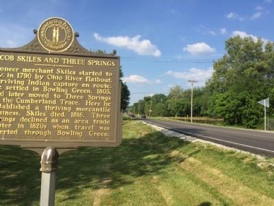
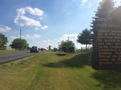
Location. 36° 54.981′ N, 86° 26.268′ W. Marker is in Bowling Green, Kentucky, in Warren County. Marker is on Three Springs Road (Kentucky Route 884) 0.1 miles south of Smallhouse Road, on the right when traveling south. Touch for map. Marker is at or near this postal address: 2055 Three Springs Road, Bowling Green KY 42104, United States of America. Touch for directions.
Other nearby markers. At least 8 other markers are within 4 miles of this marker, measured as the crow flies. Col. Terrence ("Terry") W. Wilcutt, USMC (approx. ¼ mile away); Lockheed T-33A-5 Shooting Star (approx. ¼ mile away); Brigadier General Edward Cherry, USAF (approx. ¼ mile away); Colonel Arnie Franklin USAF (approx. ¼ mile away); Grumman F9F-5 Panther (approx. ¼ mile away); McFadin's Station / Cumberland Trace (approx. 2.3 miles away); John Hunt Morgan (approx. 3 miles away); Lost River Blue Holes, Trees, Wild Flowers And Quarrying Ruins (approx. 3.1 miles away). Touch for a list and map of all markers in Bowling Green.
Credits. This page was last revised on June 16, 2016. It was originally submitted on May 17, 2015, by Mark Hilton of Montgomery, Alabama. This page has been viewed 693 times since then and 26 times this year. Photos: 1, 2, 3. submitted on May 17, 2015, by Mark Hilton of Montgomery, Alabama.


