Yuma in Yuma County, Arizona — The American Mountains (Southwest)
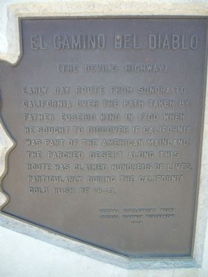
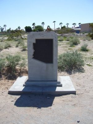
El Camino Del Diablo
(The Devil's Highway)
Erected 1967 by Arizona Development Board and Arizona Highway Department.
Topics. This historical marker is listed in this topic list: Roads & Vehicles. A significant historical year for this entry is 1700.
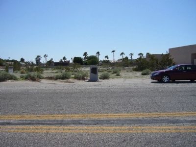
Location. 32° 40.049′ N, 114° 24.354′ W. Marker is in Yuma, Arizona, in Yuma County. Marker is on South Frontage Road near South El Camino Del Diablo, on the right when traveling east. Marker is 1/4 mile east of South Avenue 13E. Touch for map. Marker is in this post office area: Yuma AZ 85367, United States of America. Touch for directions.
Other nearby markers. At least 3 other markers are within 13 miles of this marker, measured as the crow flies. Red Top Wash Bridge (approx. 7.7 miles away); Camp Laguna (approx. 11.2 miles away); Site of Mission San Pedro (approx. 12.1 miles away in California).
Also see . . .
1. El Camino Del Diablo from Wikipedia. El Camino Del Diablo is a historic Spanish colonial trail, originally from Caborca, Sonora to Yuma, Arizona, and on to the Spanish colonies of California. Jesuit Padre Eusebio Francisco Kino pioneered the trail from 1699-1701. The most difficult stretch of the trail was the 130-mile stretch from Sonoyta, Sonora to what is now Yuma, Arizona. (Submitted on March 22, 2010, by Bill Kirchner of Tucson, Arizona.)
2. Kino Heritage Society. (Submitted on December 2, 2019.)
Credits. This page was last revised on December 2, 2019. It was originally submitted on March 22, 2010, by Bill Kirchner of Tucson, Arizona. This page has been viewed 1,858 times since then and 21 times this year. Last updated on May 19, 2015, by J. Makali Bruton of Accra, Ghana. Photos: 1, 2, 3. submitted on March 22, 2010, by Bill Kirchner of Tucson, Arizona. • Andrew Ruppenstein was the editor who published this page.


