Liberty in Casey County, Kentucky — The American South (East South Central)
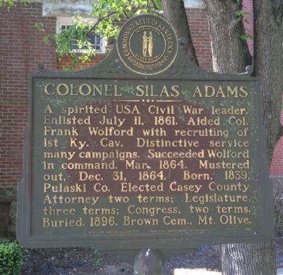
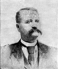
Colonel Silas Adams
Erected 1965 by the Kentucky Historical Society, Kentucky Department of Highways. (Marker Number 888.)
Topics and series. This historical marker is listed in these topic lists: Government & Politics • War, US Civil. In addition, it is included in the Kentucky Historical Society series list. A significant historical date for this entry is July 11, 1930.
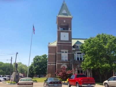
Location. 37° 19.08′ N, 84° 56.423′ W. Marker is in Liberty, Kentucky, in Casey County. Marker is at the intersection of Campbellsville Street (Kentucky Route 70) and Courthouse Square, on the right when traveling east on Campbellsville Street. Touch for map. Marker is at or near this postal address: 161 Courthouse Square, Liberty KY 42539, United States of America. Touch for directions.
Other nearby markers. At least 8 other markers are within 13 miles of this marker, measured as the crow flies. First Kentucky Cavalry (here, next to this marker); Casey County War Memorial (a few steps from this marker); Casey County Courthouse (within shouting distance of this marker); The Liberty Bell (about 700 feet away, measured in a direct line); John Fry (approx. 1.3 miles away); 1st KY Cavalry Beginning (approx. 10 miles away); Utah School (approx. 11 miles away); Crash of the B-58 "Hustler" (approx. 12.9 miles away). Touch for a list and map of all markers in Liberty.
Also see . . . Wikipedia article on Silas Adams. (Submitted on May 19, 2015, by Mark Hilton of Montgomery, Alabama.)
Credits. This page was last revised on June 16, 2016. It was originally submitted on May 19, 2015, by Mark Hilton of Montgomery, Alabama. This page has been viewed 401 times since then and 16 times this year. Photos: 1, 2, 3. submitted on May 19, 2015, by Mark Hilton of Montgomery, Alabama.


