Brockville in Leeds and Grenville United Counties, Ontario — Central Canada (North America)
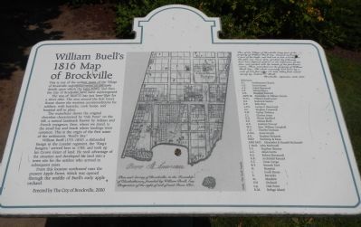
William Buell’s 1816 Map of Brockville
Inscription.
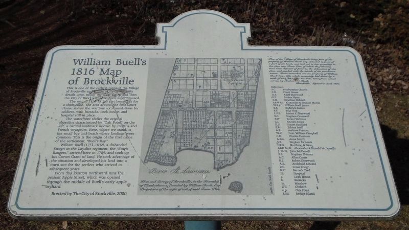
This is one of the earliest maps of the Village of Brockville and shows many of the early details upon which the later Town, and then City of Brockville have been superimposed.
The war of 1812-15 has just been over for a short time. The area around the first Court House shows the wartime accommodations for soldiers, with barracks, cook house, and hospital still in place.
The waterfront shows the original shoreline characterized by “Oak Point” on the left, a natural landmark known by Indians and French voyageurs. Here, where we stand, is the small bay and beach where landings were common. This is the origin of the first name of the settlement, “Buell’s Bay.”
William Buell (1751-1832), a disbanded Ensign in the Loyalist regiment, the “King’s Rangers,” arrived here in 1785, and took up his Crown Grant of land. He took advantage of the situation and developed his land into a town site for the settlers who arrive in subsequent years.
From this location northward runs the present Apple Street, which was opened through the middle of Buell’s early apple orchard.
Plan of the Village of Brockville being part of the property of William Buell, Esq. Situated in front of a part of his lands, and laid out in lots according to this plan into Town Lots, of which the following have been disposed of prior to the delineation of this plan, and marked with the initials of the purchasers names. Those unmarked are the property of William Buell Esq., The whole accurately laid down by a scale of 100 feet to the 1/2 inch, taken from actual survey by Andrew N. Buell. — Brockville, September 25th 1816.
Erected 2000 by City of Brockville.
Topics. This historical marker is listed in this topic list: Settlements & Settlers. A significant historical date for this entry is September 25, 1813.
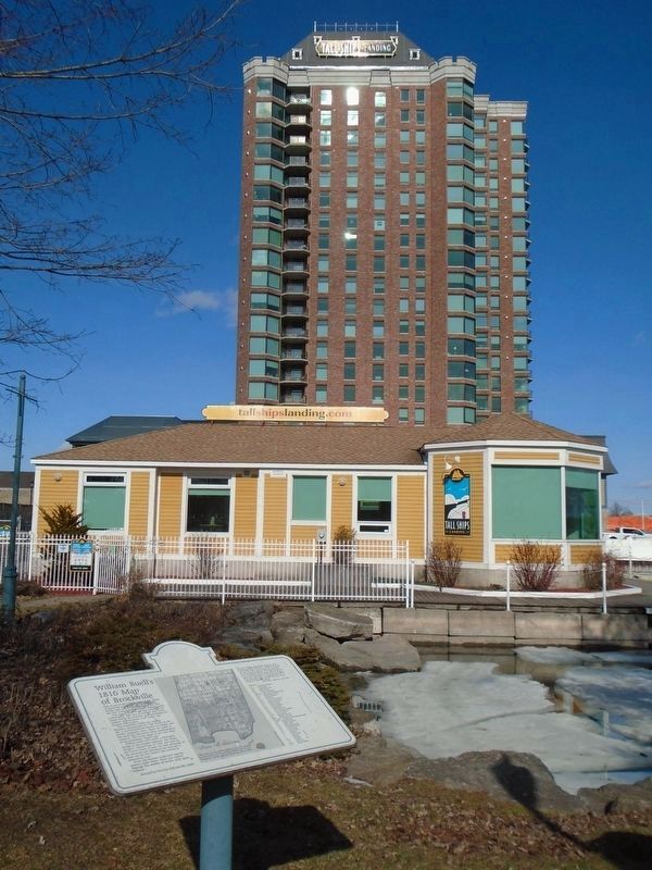
Location. 44° 35.192′ N, 75° 41.07′ W. Marker is in Brockville, Ontario, in Leeds and Grenville United Counties. Marker is on Home Street close to Ernie Fox Quay. Touch for map. Marker is at or near this postal address: 2 Home Street, Brockville ON K6V 3L7, Canada. Touch for directions.
Other nearby markers. At least 8 other markers are within walking distance of this marker. Smart's Foundry (a few steps from this marker); Forsyth’s Raid 1813 (within shouting distance of this marker); William Buell House (about 90 meters away, measured in a direct line); Centennial of Confederation (about 120 meters away); a different marker also named Smart's Foundry (about 120 meters away); William Buell, Sr. 1751 - 1832 (about 120 meters away); James Smart Manufacturing Co. Ltd. (about 120 meters away); Women's Memorial (about 120 meters away). Touch for a list and map of all markers in Brockville.
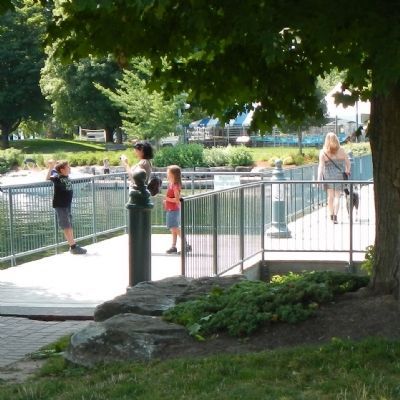
More about this marker. This marker is located near the boat ramp.
Credits. This page was last revised on March 18, 2022. It was originally submitted on May 20, 2015, by Barry Swackhamer of Brentwood, California. This page has been viewed 394 times since then and 13 times this year. Photos: 1, 2. submitted on May 20, 2015, by Barry Swackhamer of Brentwood, California. 3, 4. submitted on March 19, 2020, by William Fischer, Jr. of Scranton, Pennsylvania. • Andrew Ruppenstein was the editor who published this page.


