Flemingsburg in Fleming County, Kentucky — The American South (East South Central)
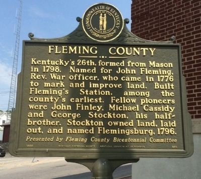
Fleming County
Erected 1998 by the Kentucky Historical Society, Kentucky Department of Highways. (Marker Number 950.)
Topics and series. This historical marker is listed in these topic lists: Settlements & Settlers • War, US Revolutionary. In addition, it is included in the Kentucky Historical Society series list. A significant historical year for this entry is 1798.
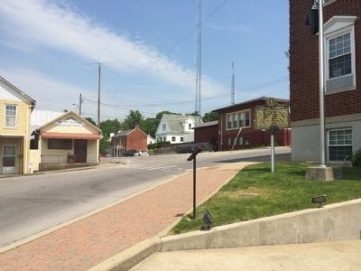
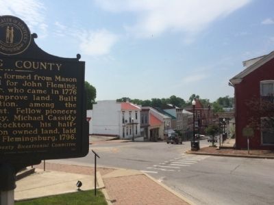
Location. 38° 25.375′ N, 83° 43.985′ W. Marker is in Flemingsburg, Kentucky, in Fleming County. Marker is at the intersection of Court Square and North Main Cross Street (Kentucky Route 57), on the left when traveling south on Court Square. Touch for map. Marker is at or near this postal address: 100 Court Square, Flemingsburg KY 41041, United States of America. Touch for directions.
Other nearby markers. At least 8 other markers are within 2 miles of this marker, measured as the crow flies. James J. Andrews (a few steps from this marker); John F. Day (1913-1982) (a few steps from this marker); Fleming Hotel (a few steps from this marker); Gorman Building (within shouting distance of this marker); Old Tobacco Plug Factory (approx. 0.2 miles away); Birthplace of Herman Chittison / Accomplished Jazz Pianist (approx. 0.2 miles away); Stockton's Station (approx. half a mile away); Michael Cassidy (1755-1829) (approx. 1.9 miles away). Touch for a list and map of all markers in Flemingsburg.
Also see . . . Fleming County History. (Submitted on May 20, 2015, by Mark Hilton of Montgomery, Alabama.)
Photographed By Mark Hilton, May 10, 2015
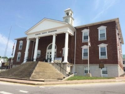
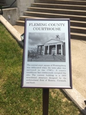
3. Fleming County Courthouse Sign
Sign reads: The central court square of Flemingsburg was delineated when the town plan was surveyed in the 1790's. A county courthouse has continuously occupied the site. The current building is a 1952 neocolonial structure designed by the architectural firm of Kenroy, Cormack, and Scott.
Credits. This page was last revised on June 16, 2016. It was originally submitted on May 20, 2015, by Mark Hilton of Montgomery, Alabama. This page has been viewed 526 times since then and 28 times this year. Photos: 1, 2, 3, 4, 5. submitted on May 20, 2015, by Mark Hilton of Montgomery, Alabama.
