Maysville in Mason County, Kentucky — The American South (East South Central)
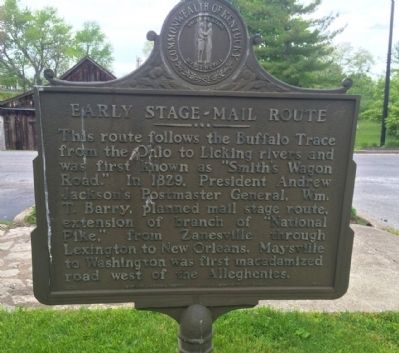
Early Stage-Mail Route
Erected 1975 by the Kentucky Historical Society, Kentucky Department of Highways. (Marker Number 1519.)
Topics and series. This historical marker is listed in these topic lists: Roads & Vehicles • Waterways & Vessels. In addition, it is included in the Former U.S. Presidents: #07 Andrew Jackson, and the Kentucky Historical Society series lists. A significant historical year for this entry is 1829.
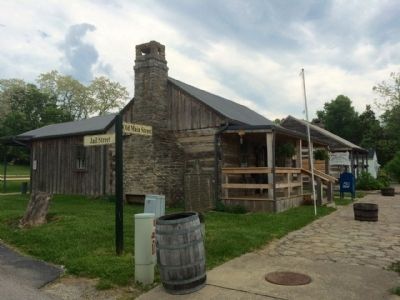
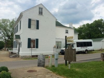
Location. 38° 36.827′ N, 83° 48.526′ W. Marker is in Maysville, Kentucky, in Mason County. Marker is at the intersection of Old Main Street and Jail Street, on the right when traveling north on Old Main Street. Touch for map. Marker is at or near this postal address: 2200 Old Main Street, Maysville KY 41056, United States of America. Touch for directions.
Other nearby markers. At least 8 other markers are within walking distance of this marker. Washington, Kentucky Post Office (a few steps from this marker); Bayless-Forman-Taylor House (within shouting distance of this marker); Washington Presbyterian Church (within shouting distance of this marker); Site of Washington Jail (within shouting distance of this marker); Harriet Beecher Stowe Slavery to Freedom Museum (about 300 feet away, measured in a direct line); Joseph Desha (1768-1842) / Old Court-New Court Issue (about 300 feet away); Brick Outbuilding (about 300 feet away); Harriet Beecher Stowe (about 300 feet away). Touch for a list and map of all markers in Maysville.
Credits. This page was last revised on June 16, 2016. It was originally submitted on May 22, 2015, by Mark Hilton of Montgomery, Alabama. This page has been viewed 423 times since then and 9 times this year. Photos: 1, 2, 3. submitted on May 22, 2015, by Mark Hilton of Montgomery, Alabama.


