Maysville in Mason County, Kentucky — The American South (East South Central)
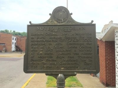
Noted Historian
Richard Collins, born in Maysville in 1824, became famous for his authoritative HISTORY OF KENTUCKY, published in 1874. Continued the work of his father, Lewis Collins, who in 1847 published a history of the state. Richard was editor of Maysville Eagle and founded Danville Review. Practiced law in Maysville and Cincinnati. Died in 1888; buried in Maysville.
Erected 1974 by the Kentucky Historical Society, Kentucky Department of Highways. (Marker Number 1492.)
Topics and series. This historical marker is listed in this topic list: Arts, Letters, Music. In addition, it is included in the Kentucky Historical Society series list. A significant historical year for this entry is 1824.
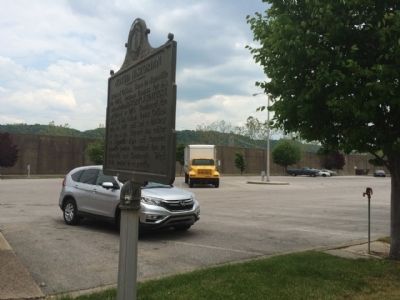
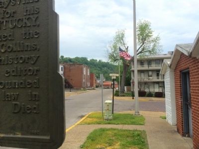
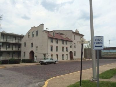
Location. 38° 38.938′ N, 83° 45.948′ W. Marker is in Maysville, Kentucky, in Mason County. Marker is at the intersection of East McDonald Parkway and Sutton Street, on the left when traveling east on East McDonald Parkway. Touch for map. Marker is at or near this postal address: 116 Sutton Street, Maysville KY 41056, United States of America. Touch for directions.
Other nearby markers. At least 8 other markers are within walking distance of this marker. The Lee House (within shouting distance of this marker); Lafayette's Tour (about 400 feet away, measured in a direct line); Kentucky Historian (about 500 feet away); Phillips' Folly (about 500 feet away); Limestone (about 600 feet away); Stanley Forman Reed (about 600 feet away); Shackleford Residence (about 800 feet away); Rosemary Clooney (approx. 0.2 miles away). Touch for a list and map of all markers in Maysville.
Related marker. Click here for another marker that is related to this marker.
Also see . . . Richard H. Collins. Find A Grave website entry (Submitted on January 12, 2022, by Larry Gertner of New York, New York.)
Credits. This page was last revised on January 12, 2022. It was originally submitted on May 23, 2015, by Mark Hilton of Montgomery, Alabama. This page has been viewed 386 times since then and 18 times this year. Photos: 1, 2, 3, 4. submitted on May 23, 2015, by Mark Hilton of Montgomery, Alabama.


