Near Farmville in Cumberland County, Virginia — The American South (Mid-Atlantic)
The High Bridge
High Bridge Trail State Park
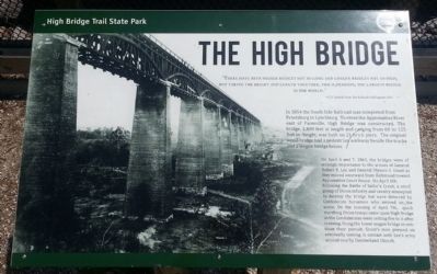
“There have been higher bridges not so long and longer bridges not so high, but taking the height and length together, this is, perhaps, the largest bridge in the world.”
-C.O. Sanford, South Side Railroad’s chief engineer,1852
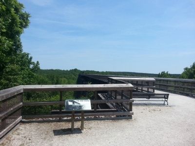
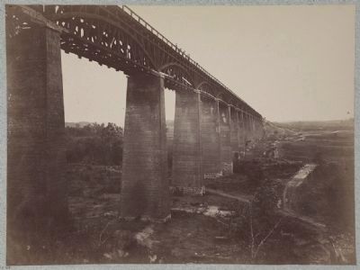
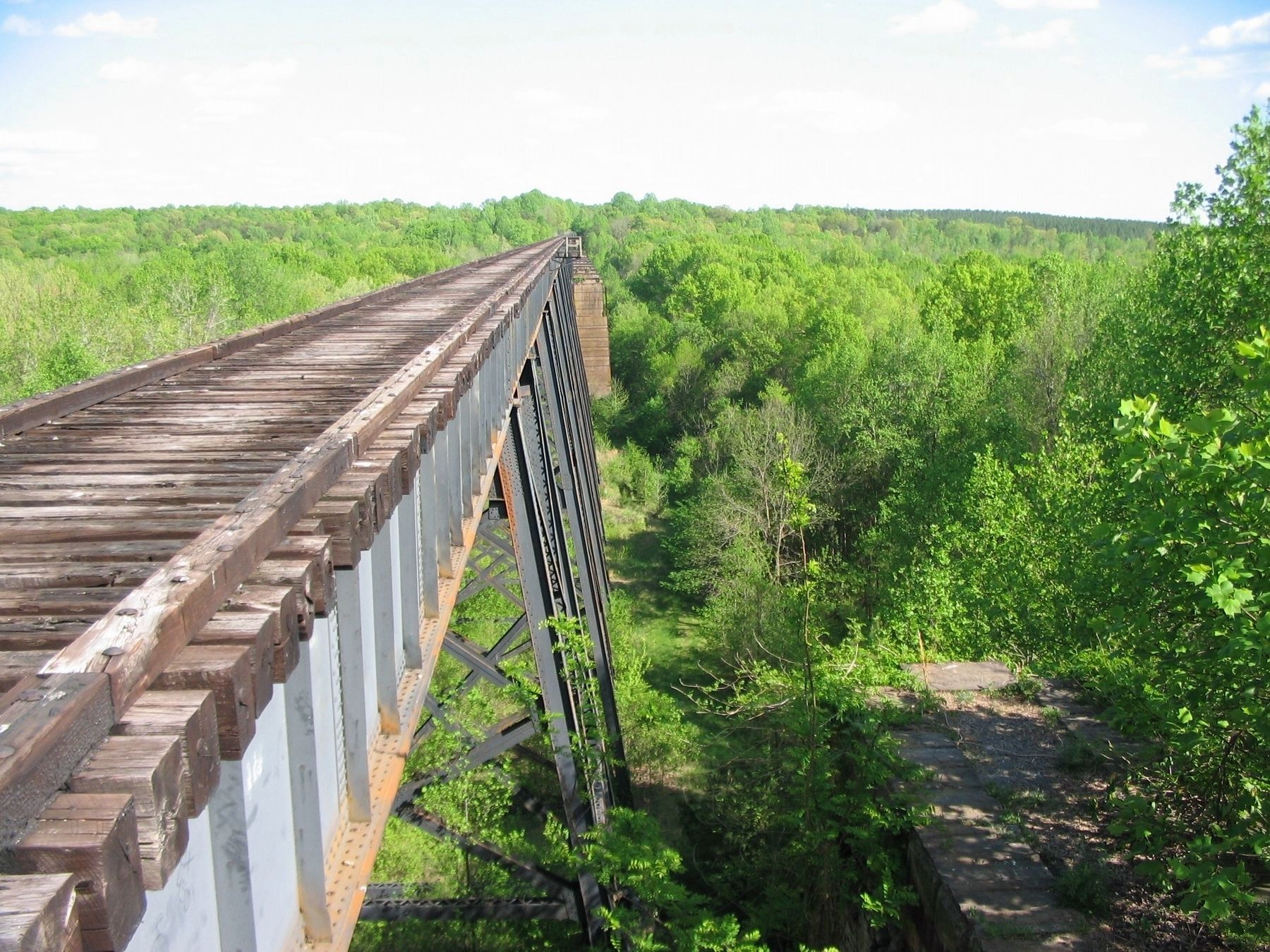
In 1854 the South Side Railroad was completed from Petersburg to Lynchburg. To cross the Appomattox River east of Farmville, High Bridge was constructed. The bridge, 2,400 feet in length and ranging from 60 to 125 feet in height, was built on 21 brick piers. The original wood bridge had a pedestrian walkway beside the tracks and a wagon bridge below.
On April 6 and 7, 1865, the bridges were of strategic importance to the armies of General Robert E. Lee and General Ulysses S. Grant as they moved westward from Richmond toward Appomattox Court House. On April 6th, following the Battle of Sailor’s Creek, a small group of Union infantry and cavalry attempted to destroy the bridge but were deterred by Confederate horsemen who arrived on the scene. On the morning of April 7th, quick marching Union troops came upon High Bridge as the Confederates were setting fire to it after crossing. Using the lower wagon bridge to continue their pursuit, Grant's men pressed on eventually coming in contact with Lee's army around nearby Cumberland Church.
Erected by High Bridge Trail State Park.
Topics. This historical marker is listed in these topic lists: Bridges & Viaducts • Railroads & Streetcars • War, US Civil. A significant historical month for this entry is April 2000.
Location. 37° 18.871′ N, 78° 19.393′ W. Marker is near Farmville, Virginia, in Cumberland County. Marker can be reached from the intersection of River Road (County Route 600) and Jamestown Road (County Route 657), on the left when traveling south. Touch for map. Marker is in this post office area: Farmville VA 23901, United States of America. Touch for directions.
Other nearby markers. At least 8 other markers are within 4 miles of this marker, measured as the crow flies. A different marker also named The High Bridge (approx. half a mile away); African-Americans at High Bridge (approx. 0.6 miles away); Camp Paradise (approx. 0.6 miles away); a different marker also named High Bridge (approx. one mile away); Cavalry Battle at High Bridge (approx. 2.7 miles away); a different marker also named High Bridge (approx. 2.7 miles away); a different marker also named Cavalry Battle at High Bridge (approx. 2.7 miles away); Lest We Forget (approx. 3.4 miles away). Touch for a list and map of all markers in Farmville.
Related marker. Click here for another marker that is related to this marker. Old Marker At This Location titled "High Bridge Trail State Park".
Also see . . .
1. Old Marker at this Location. This marker replaced an older one at this location titled “High Bridge Trail State Park” (Submitted on May 24, 2015.)
2. High Bridge Trail State Park. Virginia Department of Conservation & Recreation (Submitted on May 24, 2015.)
Credits. This page was last revised on April 13, 2024. It was originally submitted on May 24, 2015, by Bernard Fisher of Richmond, Virginia. This page has been viewed 454 times since then and 29 times this year. Photos: 1, 2. submitted on May 24, 2015, by Bernard Fisher of Richmond, Virginia. 3. submitted on May 24, 2015. 4. submitted on April 19, 2010, by Craig Swain of Leesburg, Virginia.


