Marker Logo HMdb.org THE HISTORICAL
MARKER DATABASE
“Bite-Size Bits of Local, National, and Global History”
Near Bellefontaine in Logan County, Ohio — The American Midwest (Great Lakes)
 

Pigeon Town / Shawnee Village Site


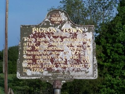
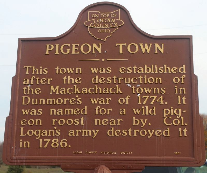
Pigeon Town side of the marker image. Click for full size.
Photographed By Robert Baughman, November 5, 2020
1. Pigeon Town side of the marker
Inscription.
Pigeon Town
This town was established after the destruction of the Mackachack towns in Dunmore’s War in 1774. It was named for a wild pigeon roost near by. Col. Logan’s army destroyed it in 1786.

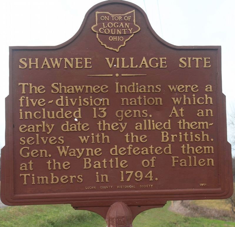
Shawnee Village Site
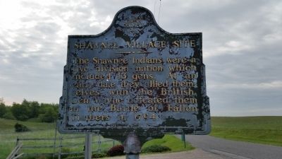
The Shawnee Indians were a five division nation which included 13 gens. At an early date they allied themselves with the British. Gen. Wayne defeated them at the Battle of Fallen Timbers in 1794.
 
Erected 1951 by Logan County Historical Society.
 
Topics. This historical marker is listed in these topic lists: Native AmericansWars, US Indian. A significant historical year for this entry is 1774.
 
Location. 40° 17.61′ N, 83° 50.389′ W. Marker is near Bellefontaine, Ohio, in Logan County. Marker is on County Route 30 just west of County Route 201, on the right when traveling west. Touch for map. Marker is at or near this postal address: 4200 Township Road 30 W, Bellefontaine OH 43311, United States of America. Touch for directions.
 
Other nearby markers. At least 8 other markers are within 5 miles of this marker, measured as the crow flies. Hull's Army (approx. 3.6 miles away); Highland Gardens Veterans Monument (approx. 4.2 miles away); DeGraff, Ohio Veterans Memorial (approx. 4.2 miles away); The First Permanent (approx. 4.3 miles away); Curry Blockhouse / Shawnee Village “Oldtown”

Paid Advertisement
Click on the ad for more information.
Please report objectionable advertising to the Editor.
Click or scan to see
this page online
(approx. 4½ miles away); McKee's Town (approx. 4.7 miles away); Foust Addition (approx. 4.9 miles away); Michael Lane Partin (approx. 5 miles away). Touch for a list and map of all markers in Bellefontaine.
 
Shawnee Village Site side of the marker image. Click for full size.
Photographed By Robert Baughman, November 5, 2020
2. Shawnee Village Site side of the marker
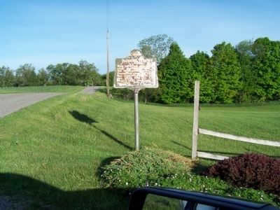
Pigeon Town side of the marker image. Click for full size.
Photographed By Rev. Ronald Irick, May 2015
3. Pigeon Town side of the marker
This image is of the marker prior to restoration.
Shawnee Village Site side of the marker image. Click for full size.
Photographed By Rev. Ronald Irick, May 26, 2015
4. Shawnee Village Site side of the marker
This image is of the marker prior to restoration.
Pigeon Town side of the marker image. Click for full size.
Photographed By Rev. Ronald Irick, May 20, 2015
5. Pigeon Town side of the marker
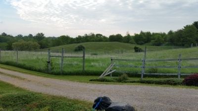
Pictured are "knob- knolls", typical of the topology of the area. image. Click for full size.
Photographed By Rev. Ronald Irick, /26/2015
6. Pictured are "knob- knolls", typical of the topology of the area.
Stoney Creek passes to the north, with McKee's Creek just beyond.
 
 
Credits. This page was last revised on November 8, 2020. It was originally submitted on May 26, 2015, by Rev. Ronald Irick of West Liberty, Ohio. This page has been viewed 1,124 times since then and 44 times this year. Photos:   1, 2. submitted on November 6, 2020, by Robert Baughman of Bellefontaine, Ohio.   3, 4, 5, 6. submitted on May 26, 2015, by Rev. Ronald Irick of West Liberty, Ohio. • Bill Pfingsten was the editor who published this page.
Share this page.  
Share on Tumblr
m=83765

CeraNet Cloud Computing sponsors the Historical Marker Database.
This website earns income from purchases you make after using our links to Amazon.com. We appreciate your support.
Paid Advertisement
Apr. 25, 2024