Ronald Reagan Washington National Airport in Arlington in Arlington County, Virginia — The American South (Mid-Atlantic)
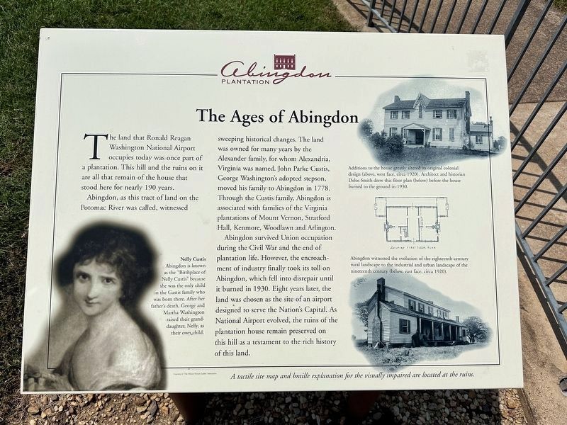
The Ages of Abingdon
Abingdon Plantation
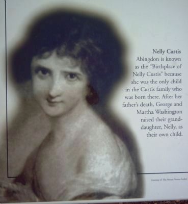
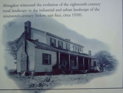
Abington, as this tract of land on the Potomac River was called, witnessed sweeping historical changes. The land was owned for many years by the Alexander family, for whom Alexandria, Virginia was named. John Parke Custis, George Washington’s adopted stepson, moved his family to Abingdon in 1778. Through the Custis family, Abingdon is associated with families of the Virginia plantations of Mount Vernon, Stratford Hall, Kenmore, Woodlawn and Arlington.
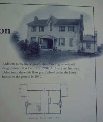
Abingdon survived Union occupation during the Civil War and the end of plantation life. However, the encroachment of industry finally took its toll on Abingdon, which fell into disrepair until it burned in 1930. Eight years later, the land was chosen as the site of an airport designed to serve the Nation’s Capital. As National Airport evolved, the ruins of the plantation house remain preserved on this hill as a testament to the rich history of this land.
Topics. This historical marker is listed in these topic lists: Agriculture • Air & Space • Settlements & Settlers • War, US Civil. A significant historical year for this entry is 1778.
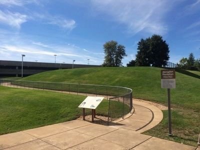
Location. 38° 51.098′ N, 77° 2.643′ W. Marker is in Arlington, Virginia, in Arlington County. It is in Ronald Reagan Washington National Airport. Marker is located between the parking garages at Ronald Reagan National Airport. Touch for map. Marker is in this post office area: Arlington VA 22202, United States of America. Touch for directions.
Other nearby markers. At least 8 other markers are within walking distance of this marker. The Alexander Family (within shouting distance of this marker); Abingdon (within shouting distance of this marker); Abingdon Plantation Restoration (within shouting distance of this marker); The Industrial Age (within shouting distance of this marker); The Hunter Family (within shouting distance of this marker); Abingdon Plantation (within shouting distance of this marker); The Custis Family (within shouting distance of this marker); Ronald Reagan (approx. 0.2 miles away). Touch for a list and map of all markers in Arlington.
Also see . . . Abingdon Plantation. (Submitted on July 11, 2011, by Bernard H. Berne of Arlington, Virginia.)
Credits. This page was last revised on October 17, 2023. It was originally submitted on June 17, 2008, by Kevin W. of Stafford, Virginia. This page has been viewed 2,498 times since then and 32 times this year. Photos: 1. submitted on September 22, 2023, by J.T. Lambrou of New Boston, Michigan. 2. submitted on October 10, 2015, by J. Makali Bruton of Accra, Ghana. 3, 4, 5. submitted on June 17, 2008, by Kevin W. of Stafford, Virginia.
