New Pathways in Memphis in Shelby County, Tennessee — The American South (East South Central)
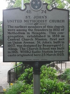
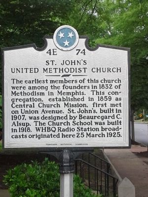
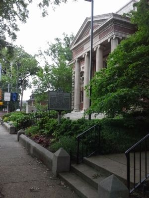
St. John's United Methodist Church
Erected by Tennessee Historical Commission. (Marker Number 4E 74.)
Topics and series. This historical marker is listed in this topic list: Churches & Religion. In addition, it is included in the Tennessee Historical Commission series list. A significant historical date for this entry is March 25, 1925.
Location. 35° 7.959′ N, 90° 1.263′ W. Marker is in Memphis, Tennessee, in Shelby County. It is in New Pathways. Marker is at the intersection of Peabody and Bellevue (U.S. 51), on the left when traveling west on Peabody. Touch for map. Marker is at or near this postal address: 1207 Peabody Ave, Memphis TN 38104, United States of America. Touch for directions.
Other nearby markers. At least 8 other markers are within walking distance of this marker. The Memphis 13/Bruce Elementary (about 600 feet away, measured in a direct line); Annesdale Park Subdivision (about 700 feet away); Pigeon Roost Road (approx. ¼ mile away); Kuni Wada Bakery Remembrance (approx. half a mile away); Jane Terrell Hospital (approx. half a mile away); Metropolitan Inter~Faith Association (approx. 0.6 miles away); Confederate Soldiers Rest (approx. 0.7 miles away); Captain Kit Dalton (approx. ¾ mile away). Touch for a list and map of all markers in Memphis.
Credits. This page was last revised on February 7, 2023. It was originally submitted on May 28, 2015, by Steve Masler of Memphis, Tennessee. This page has been viewed 458 times since then and 23 times this year. Photos: 1, 2, 3. submitted on May 28, 2015, by Steve Masler of Memphis, Tennessee. • Bill Pfingsten was the editor who published this page.


