Alexandria in Jefferson County, New York — The American Northeast (Mid-Atlantic)
Indian River Lakes
Breeding Bird Refuge
— Natural History —
Important Habitat Refuge
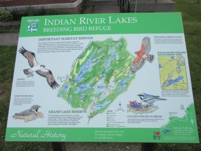
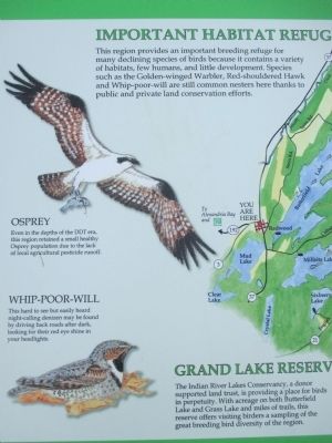
This region provides an important breeding refuge for many declining species of birds because it contains a variety of habitats, few humans, and little development. Species such as the Golden-winged Warbler, Red-shouldered Hawk and Whip-poor-will are still common nesters here thanks to public and private land conservation efforts.
Opsrey. Even in the depths of the DDT era, this region retained a small healthy Osprey population due to the lack of local agricultural pestcide runoff.
Whip-Poor-Will. This hard to see but easily heard night-calling denizen may be found by driving back roads after dark, looking for their red eye shine in your headlights.
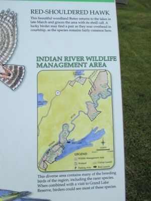
Red-Shouldered Hawk. This beautiful woodland Buteo returns to the lakes in late March and graces the area with its shrill call. A lucky birder may find a pair as they soar overhead in courtship, as the species remains fairly common here.
Golden-Winged Warbler. The beautiful Golden-winged Warbler finds refuge here. It is being displaced elsewhere by its close relative the Blue-winged Warbler.
Grand Lakes Reserve
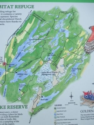
The Indian River Lakes Conservancy, a donor supported land trust, is providing a place for birds in perpetuity. With acreage on both Butterfield Lake and Grass Lake and miles of trails, this reserve offers visiting birders a sampling of the great breeding bird diversity of the region.
Indian River Wildlife Management Area
This diverse are contains many of the breeding birds of the region, including the rarer species. When combined with a visit to Grand Lake Reserve, birders could see most of these species.
Sparsely populated areas near the Seaway Trail are refuges for wildlife species.
Seaway Trail, Inc. Corner Ray & West Main St., Sackets Harbor, NY 13685. America's Byways. This project was funded in part by the National Highway Administration and administered by the New York State Scenic Byways Program of the New York State Department of Transportation and Seaway Trail, Inc.
Erected by Seaway Trail, Inc.
Topics and series. This historical marker is listed in this topic list: Environment. In addition, it is included in the Great Lakes Seaway Trail National Scenic Byway series list.
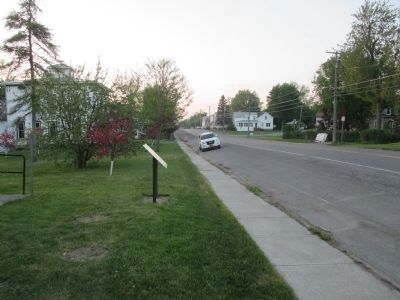
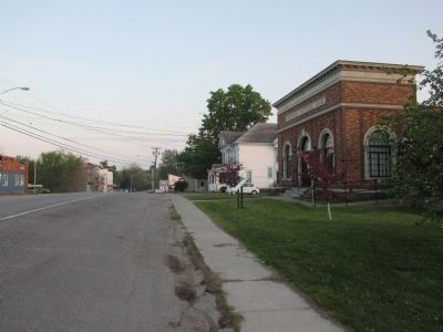
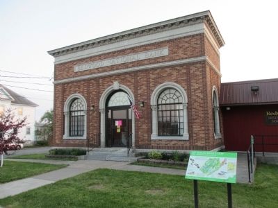
Location. 44° 17.907′ N, 75° 48.042′ W. Marker is in Alexandria, New York, in Jefferson County. Marker is on New York State Route 37 at milepost 22.3,, 0.1 miles south of Stine Road, on the left when traveling north. Marker is in the hamlet of Redwood, NY at the Redwood National Bank building which is now the museum of the Redwood Historical Society. Touch for map. Marker is at or near this postal address: 43567 State Route 37, Redwood NY 13679, United States of America. Touch for directions.
Other nearby markers. At least 8 other markers are within 6 miles of this marker, measured as the crow flies. Redwood Glass (approx. 0.2 miles away); The Battle of Cranberry Creek (approx. 4˝ miles away); Military Road (approx. 4.6 miles away); Cranberry Creek Wildlife Management Area (approx. 4.6 miles away); a different marker also named Cranberry Creek Wildlife Management Area (approx. 4.6 miles away); Civil War Cannon (approx. 5.8 miles away); Civil War Memorial (approx. 5.8 miles away); Methodist Episcopal Church Bell (approx. 5.8 miles away). Touch for a list and map of all markers in Alexandria.
Credits. This page was last revised on June 16, 2016. It was originally submitted on June 6, 2015, by Anton Schwarzmueller of Wilson, New York. This page has been viewed 367 times since then and 10 times this year. Photos: 1, 2, 3, 4, 5, 6, 7. submitted on June 6, 2015, by Anton Schwarzmueller of Wilson, New York.
