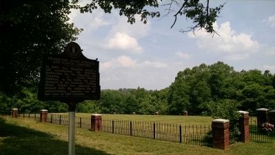
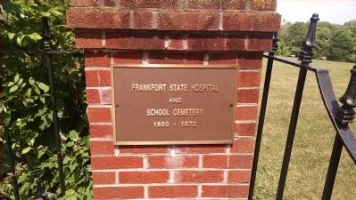
Frankfort State Hospital And School Cemetery
Front
In 1860, Governor Magoffin signed a bill establishing the Kentucky Institution for the Education and Training of Feeble-Minded Children. In the 1940s, the name changed to the Kentucky Training Home. Adults were admitted and housed with the children due to overcrowding. Capacity was 616, but rose to 1129 residents.
Reverse
By 1963, the name changed to Frankfort State Hospital and School. It closed in 1972. Many residents spent their entire lives here working as unpaid staff by maintaining the institution. More than 411 people are buried in the cemetery, with most graves marked as “unknown.”
Dedicated to the Kentuckians with disabilities who lived and died at Frankfort State Hospital.
Erected 2014 by Kentucky Historical Society, Kentucky Department of Highways. (Marker Number 2423.)
Topics and series. This historical marker is listed in these topic lists: Cemeteries & Burial Sites • Charity & Public Work. In addition, it is included in the Kentucky Historical Society series list. A significant historical year for this entry is 1860.
Location. 38° 11.611′ N, 84° 51.797′ W. Marker is in Frankfort, Kentucky, in Franklin County. Marker is at the intersection of Cold Harbor Drive and
Other nearby markers. At least 8 other markers are within walking distance of this marker. The Persian Gulf War (about 400 feet away, measured in a direct line); War Of Independence (about 400 feet away); War of 1812 (about 400 feet away); The Texas War of Independence 1836 (about 400 feet away); Spanish-American War (about 400 feet away); Civil War (about 400 feet away); World War I (about 400 feet away); Korean Conflict (about 400 feet away). Touch for a list and map of all markers in Frankfort.
Credits. This page was last revised on June 16, 2016. It was originally submitted on June 8, 2015, by Dave Knoch of Scott County, Kentucky. This page has been viewed 618 times since then and 13 times this year. Photos: 1, 2, 3, 4. submitted on June 8, 2015, by Dave Knoch of Scott County, Kentucky. • Bill Pfingsten was the editor who published this page.
![Frankfort State Hospital And School Cemetery Marker [front]. Click for full size. Frankfort State Hospital And School Cemetery Marker [front] image. Click for full size.](Photos3/310/Photo310674.jpg?68201520200PM)
![Frankfort State Hospital And School Cemetery Marker [reverse]. Click for full size. Frankfort State Hospital And School Cemetery Marker [reverse] image. Click for full size.](Photos3/310/Photo310675.jpg?68201520300PM)

