Near Williamsport in Maury County, Tennessee — The American South (East South Central)
Old Natchez Trace
Inscription.
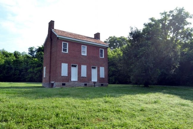
The 500 mile long Natchez Trace of the early 1800's, then known as the Natchez Road, connected Nashville on the Cumberland River with Natchez on the Mississippi River. This historic wilderness road crossed the Duck River 1/4 mile south of here. John Gordon, an Indian scout and fighter with General Andrew Jackson, established a ferry and trading post here in 1802.
Erected May 27, 1991
By the Hickman County and Duck River Chapter
Daughters of the American Revolution
Erected 1991 by Daughters of the American Revolution.
Topics and series. This historical marker is listed in these topic lists: Industry & Commerce • Roads & Vehicles • Waterways & Vessels. In addition, it is included in the Daughters of the American Revolution, the Former U.S. Presidents: #07 Andrew Jackson, and the Natchez Trace series lists. A significant historical date for this entry is May 27, 2011.
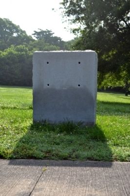
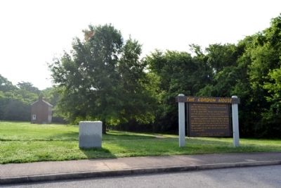
Location. Marker is missing. It was located near 35° 43.213′ N, 87° 15.672′ W. Marker was near Williamsport, Tennessee, in Maury County. Marker could be reached from Natchez Trace Parkway (at milepost 407.7) south of Williamsport Pike (Tennessee Highway 50), on the right when traveling north. Touch for map . Marker was in this post office area: Williamsport TN 38487, United States of America. Touch for directions.
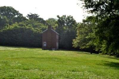
Other nearby markers. At least 8 other markers are within 4 miles of this location, measured as the crow flies. The Gordon House (here, next to this marker); a different marker also named The Gordon House (about 300 feet away, measured in a direct line); The Family Farm ... Working in Harmony with the Environment (approx. 2.1 miles away); Welcome! (approx. 2.4 miles away); Highland Rim Section (approx. 2.4 miles away); Natchez Trace Parkway (approx. 2.4 miles away); Jackson Branch – A Stolen Stream (approx. 2˝ miles away); Old Trace Walk (approx. 3.3 miles away). Touch for a list and map of all markers in Williamsport.
Also see . . . Natchez Trace - National Park Service Website. (Submitted on June 10, 2015.)
Credits. This page was last revised on October 15, 2021. It was originally submitted on June 10, 2015, by Duane Hall of Abilene, Texas. This page has been viewed 428 times since then and 22 times this year. Photos: 1, 2, 3, 4, 5. submitted on June 10, 2015, by Duane Hall of Abilene, Texas.


