Driggs in Teton County, Idaho — The American West (Mountains)
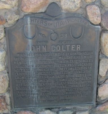
John Colter
Erected Sept. 1938
Who accompanied Lewis & Clark through the Northwest in 1803-6, was the first white man to enter Teton Valley (Pierre’s Hole) in 1807 and discovered Teton Pass, Jackson Hole and the wonders of Yellowstone Park. Later called “Colter’s Hell.” He joined the Crow Indians and took part in the Battle of the Flats, between the Crows and the Blackfeet. The next year he returned to this valley. A stone face found in Teton Valley in 1931, is inscribed: “John Coulter, 1808.” Coulter settled on a Missouri Farm in 1810, where he died in November 1813, about 38 years of age.
Teton County Company
Erected 1938 by Daughters of the Utah Pioneers. (Marker Number 38.)
Topics and series. This historical marker is listed in this topic list: Settlements & Settlers. In addition, it is included in the Daughters of Utah Pioneers series list. A significant historical month for this entry is November 1813.
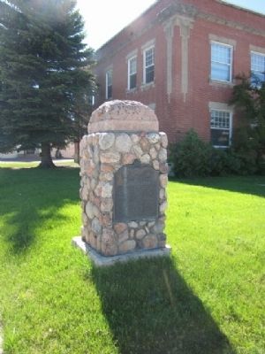
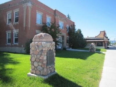
Location. 43° 43.464′ N, 111° 6.66′ W. Marker is in Driggs, Idaho, in Teton County. Marker is on Scenic Idaho 33, on the right when traveling north. Located on the grounds of the former Teton County Courthouse on Main Street in Driggs. Touch for map. Marker is at or near this postal address: 89 Scenic Idaho 33, Driggs ID 83422, United States of America. Touch for directions.
Other nearby markers. At least 7 other markers are within 5 miles of this marker, measured as the crow flies. Teton County Veterans Memorial (a few steps from this marker); Pierre's Hole Rendezvous and Battle (approx. 1.2 miles away); Tetonia School Bell (approx. 1.3 miles away); Fordson Tractor (approx. 1.3 miles away); Pierre's Hole (approx. 2.8 miles away); Teton Range (approx. 4.7 miles away); a different marker also named John Colter (approx. 4.7 miles away).
Credits. This page was last revised on June 16, 2016. It was originally submitted on June 13, 2015, by James R. Murray of Elkton, Florida. This page has been viewed 1,015 times since then and 45 times this year. Photos: 1, 2, 3. submitted on June 13, 2015, by James R. Murray of Elkton, Florida. • Andrew Ruppenstein was the editor who published this page.


