Rione X Campitelli in Roma in Città metropolitana di Roma Capitale, Latium, Rome, Italy — Central Italy (Tyrrhenian Coast)
Roman Forum. History of the Excavations
Inscription.
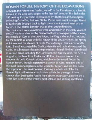
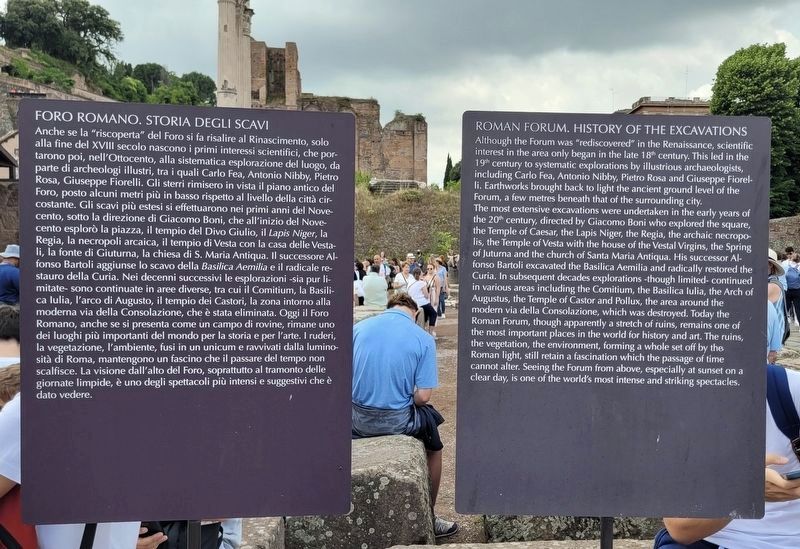
Although the Forum was "rediscovered" in the Renaissance, scientific interest in the area only began in the late 18th century. This led in the 19th century to systematic explorations by illustrious archaeologists, including Carlo Fea, Antonio Nibby, Pietro Rosa and Guiseppe Fiorelli. Earthworks brought back to light the ancient ground level of the Forum, a few metres beneath that of the surrounding city.
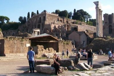
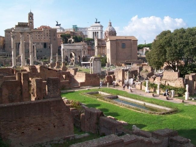
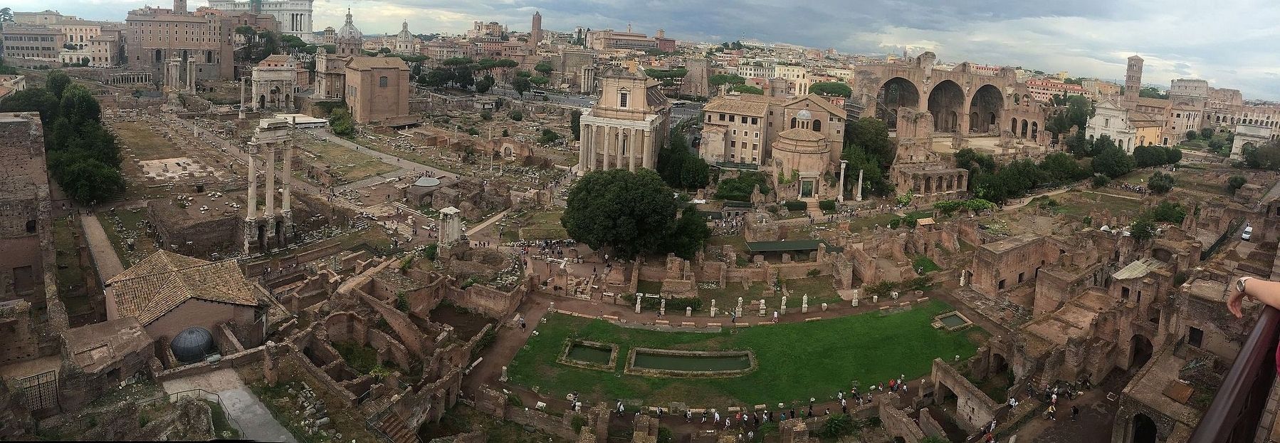
The most extensive excavations were undertaken in the early years of the 20th century, directed by Giacomo Boni who explored the square, the Temple of Caesar, the Lapis Niger, the Regia, the archaic necroplis, the Temple of Vesta with the house of the Vestal Virgins, the Spring of Juturna and the church of Santa Maria Antiqua. His successor Alfonso Bartoli excavated the Basilica Aemilia and radically restored the Curia. In subsequent decades explorations - though limited - continued in various areas including the Comitium, the Basilica lulia, the Arch of Augustus, the Temple of Castor and Pollux, the area around the modern via della Consolazione, which was destroyed. Today the Roman Forum, though apparently a stretch of ruins, remains one of the most important places in the world for history and art. The ruins, the vegetation, the environment, forming a whole set off by the Roman light, still retain a fascination which the passage of time cannot alter. Seeing the Forum from above, especially at sunset on a clear day, is one of the world's most intense and striking spectacles.
Italian Marker
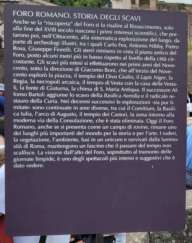
Anche se la "riscoperta" del Foro si fa risalire al Rinascimento, solo alla fine del XVIII secolo nascono i primi interessi scientifici, che portarono poi, nell'Ottocento, alla sistematica esplorazione del luogo, da parte di archeologi illustri, tra i quali Carlo Fea, Antonio Nibby, Pietro Rosa, Giuseppe Fiorelli. Gli sterri rimisero in vista il piano antico del Foro, posto alcuni metri più in basso rispetto al livello della città circostante. Gli scavi più estesi si effettuarono nei primi anni del Novecento, sotto la direzione di Giacomo Boni, che all'inizio del Novecento esplorò la piazza, il tempio del Divo Giulio, il Lapis Niger, la Regia, la necropoli arcaica, il tempio di Vesta con la casa delle Vestali, la fonte di Giuturna, la chiesa di S. Maria Antiqua. Il successore Alfonso Bartoli aggiunse lo scavo della Basilica Aemilia e il radicale restauro della Curia. Nei decenni successivi le esplorazioni
-sia pur limitate- sono continuate in aree diverse, tra cui il Comitium, la Basilica lulia, l'arco di Augusto, il tempio dei Castori, la zona intorno alla moderna via della Consolazione, che è stata eliminata. Oggi il Foro Romano, anche se si presenta come un campo di rovine, rimane uno dei luoghi più importanti del mondo per la storia e per l'arte. I ruderi, la vegetazione, l'ambiente, fusi in un unicum e ravvivati dalla luminosità di Roma, mantengono un fascino che il passare del tempo non scalfisce. La visione dall'alto del Foro, soprattutto al tramonto delle giornate limpide, è uno degli spettacoli più intensi e suggestivi che è dato vedere.
Topics. This historical marker is listed in this topic list: Man-Made Features.
Location. 41° 53.534′ N, 12° 29.158′ E. Marker is in Roma, Lazio (Latium, Rome), in Città metropolitana di Roma Capitale. It is in Rione X Campitelli. Marker and ruins are in the Roman Forum. Touch for map. Marker is at or near this postal address: Via Sacra, Roma, Lazio 00186, Italy. Touch for directions.
Other nearby markers. At least 8 other markers are within walking distance of this marker. Tabernae at the Front of the Basilica Aemilia (a few steps from this marker); Altar of Caesar / Ara di Cesare (a few steps from this marker); Roman Forum (a few steps from this marker); Forum Square (a few steps from this marker); Tempio del Divo Giulio / Temple of Caesar
(within shouting distance of this marker); Veduta del Sito Ov'era L'antico Foro Romano / View of the Site Where the Ancient Roman Forum Was (within shouting distance of this marker); a different marker also named Roman Forum (within shouting distance of this marker); Via Sacra: Il Foro e la Citta Pubblica / Via Sacra: the Forum and the Public City (within shouting distance of this marker). Touch for a list and map of all markers in Roma.
Also see . . .
1. Roman Forum. Wikipedia entry (Submitted on April 11, 2021, by Larry Gertner of New York, New York.)
2. Rome Reborn: A Digital Model of Ancient Rome. Website homepage (Submitted on June 15, 2015, by William Fischer, Jr. of Scranton, Pennsylvania.)
Credits. This page was last revised on August 22, 2023. It was originally submitted on June 15, 2015, by William Fischer, Jr. of Scranton, Pennsylvania. This page has been viewed 498 times since then and 28 times this year. Photos: 1. submitted on June 15, 2015, by William Fischer, Jr. of Scranton, Pennsylvania. 2, 3. submitted on August 22, 2023, by James Hulse of Medina, Texas. 4, 5. submitted on June 15, 2015, by William Fischer, Jr. of Scranton, Pennsylvania. 6. submitted on April 11, 2021, by Larry Gertner of New York, New York.
