Near Centerville in Montgomery County, Ohio — The American Midwest (Great Lakes)
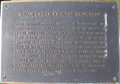
Sugar Creek Friends Cemetery
Inscription.
After attending monthly meetings in Waynesville and
Springborough for many years, members of the Society of
Friends built a log meeting house facing Clyo Road on two
acres of land purchased from Solomon Miller in 1823.
Abandoned as a church in 1858, when most members had
moved out of the township, the structure was converted to
a house only to be destroyed by fire soon after. The burial
ground contains nine markers for eleven members of three
families, but Quaker records show more interred here. In
1979 this cemetery was deeded over to Washington
Township and is currently maintained by the township.
Topics and series. This historical marker is listed in these topic lists: Cemeteries & Burial Sites • Settlements & Settlers. In addition, it is included in the Quakerism series list. A significant historical year for this entry is 1823.
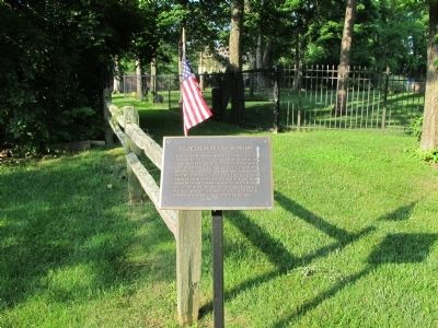
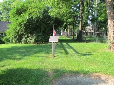
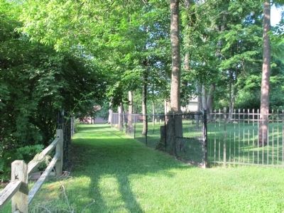
Location. 39° 37.231′ N, 84° 8.368′ W. Marker is near Centerville, Ohio, in Montgomery County. Marker is on Clyo Road, on the right when traveling south. Marker is in wooded area off the west side of Clyo Road, between Quaker Way and Ole Quaker Court. Touch for map. Marker is at or near this postal address: 8507 Clyo Rd, Dayton OH 45458, United States of America. Touch for directions.
Other nearby markers. At least 8 other markers are within 7 miles of this marker, measured as the crow flies. Sugar Creek Baptist Church Cemetery (approx. 1˝ miles away); Centerville Veterans Memorial (approx. 1.6 miles away); Brigadier General Edmund Munger (approx. 3˝ miles away); Mad River Road / Road From Cunningham's to Mad River (approx. 4.3 miles away); Mad River Road / Road from Cunningham’s to Mad River (approx. 4.4 miles away); Cassano’s Pizza King® (approx. 4.7 miles away); Miamisburg (approx. 6.1 miles away); Zion Memorial Church (approx. 6.4 miles away). Touch for a list and map of all markers in Centerville.
Additional keywords. Society of Friends
Credits. This page was last revised on June 16, 2016. It was originally submitted on June 15, 2015, by Rev. Ronald Irick of West Liberty, Ohio. This page has been viewed 450 times since then and 27 times this year. Photos: 1, 2, 3, 4. submitted on June 15, 2015, by Rev. Ronald Irick of West Liberty, Ohio. • Bill Pfingsten was the editor who published this page.


