Mount Vernon in Rockcastle County, Kentucky — The American South (East South Central)
Rockcastle County, 1810
Inscription.
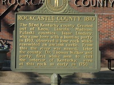
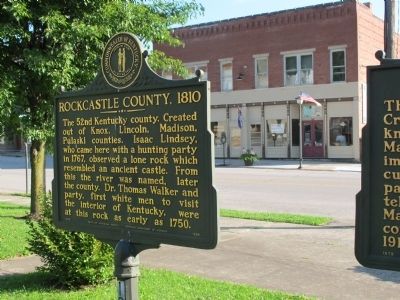
The 52nd Kentucky county. Created
out of Knox, Lincoln, Madison,
Pulaski counties. Isaac Lindsey,
who came here with a hunting party
in 1767, observed a lone rock which
resembled an ancient castle. From
this the river was named, later
the county. Dr. Thomas Walker and
party, first white men to visit
the interior of Kentucky, were
at this rock as early as 1750.
Erected 1969 by Kentucky Historical Society Kentucky Department of Transportation. (Marker Number 1254.)
Topics and series. This historical marker is listed in this topic list: Settlements & Settlers. In addition, it is included in the Kentucky Historical Society series list. A significant historical year for this entry is 1767.
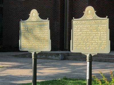
Location. 37° 21.171′ N, 84° 20.314′ W. Marker is in Mount Vernon, Kentucky, in Rockcastle County. Marker is at the intersection of Main Street and Church Street when traveling east on Main Street. Marker is one of several in the front lawn of the Rockcastle County Courthouse. south east corner of East Main at Church Street, just one half block north of U.S. 25. Touch for map. Marker is at or near this postal address: 205 E Main St, Mount Vernon KY 40456, United States of America. Touch for directions.
Other nearby markers. At least 8 other markers are within walking distance of this marker. Col. James Maret (1855- 1936) (here, next to this marker); Boone Way (here, next to this marker); Rockcastle Co. War Memorial (here, next to this marker); Grand Army of the Republic (GAR) (a few steps from this marker); Cox Building History (within shouting distance of this marker); Fish – Hiatt Building (within shouting distance of this marker); Spout Spring Pioneer History (about 300 feet away, measured in a direct line); Bryant Building / Murder on Main Street (about 400 feet away). Touch for a list and map of all markers in Mount Vernon.
Credits. This page was last revised on June 16, 2016. It was originally submitted on June 19, 2015, by Rev. Ronald Irick of West Liberty, Ohio. This page has been viewed 440 times since then and 31 times this year. Photos: 1, 2, 3. submitted on June 19, 2015, by Rev. Ronald Irick of West Liberty, Ohio. • Bill Pfingsten was the editor who published this page.


