Near Georgetown in Scott County, Kentucky — The American South (East South Central)
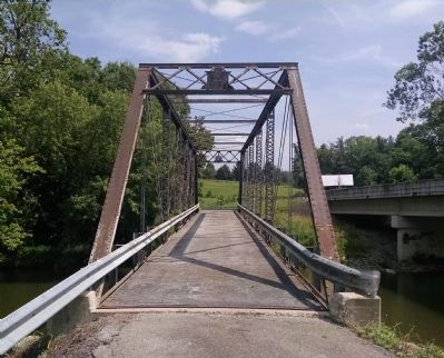
Branham's Mill / Galloway Pike Iron Bridge
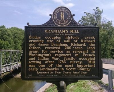
Branham's Mill
Bridge occupies historic creek crossing site of mill of Richard and James Branham. Richard, the father, received 200-acre land grant for service as sergeant in Washington's regiment in French and Indian War. Family occupied setting after 1783 survey. Mill was one of the most important early landmarks in Scott County.
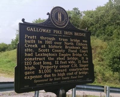
= Galloway Pike Iron Bridge
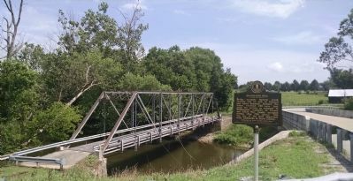
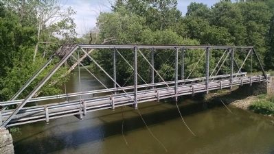
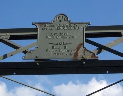
Pratt through truss bridge was built in 1910 over North Elkhorn Creek at historic Branham's Mill site. Scott County Fiscal Court had Lexington's Empire Bridge Company construct the steel bridge. It is 120 feet long, 12 feet wide, 12 feet high. Property owner C.H. Singer gave $1,000 toward construction expense due to high cost of bridge.
Erected 2009 by Kentucky Historical Society, Kentucky Department of Highways. (Marker Number 2286.)
Topics and series. This historical marker is listed in these topic lists: Bridges & Viaducts • Industry & Commerce • Settlements & Settlers • Waterways & Vessels. In addition, it is included in the Kentucky Historical Society series list. A significant historical year for this entry is 1783.
Location. 38° 13.97′ N, 84° 39.282′ W. Marker is near Georgetown, Kentucky, in Scott County. Marker is on Galloway Road, 0.9 miles south of Stamping Ground Road (Kentucky Highway 227), on the left when traveling south. On the north bank of the North Elkhorn Creek. Touch for map. Marker is at or near this postal address: Galloway Road, Georgetown KY 40324, United States of America. Touch for directions.
Other nearby markers. At least 8 other markers are within 4 miles of this marker, measured as the crow flies. St. Francis Church (approx. 2.9 miles away); U.S. Vice President (approx. 2.9 miles away); Robert Johnson / Jemima Suggett Johnson (approx. 3 miles away); LaFayette's Tour (approx. 3 miles away); Johnson Family Cemetery (approx. 3 miles away); Choctaw Indian Academy (approx. 3.1 miles away); Stamping Ground (approx. 3.2 miles away); Buffalo Springs (approx. 3.2 miles away). Touch for a list and map of all markers in Georgetown.
Credits. This page was last revised on September 21, 2020. It was originally submitted on June 24, 2015, by Dave Knoch of Scott County, Kentucky. This page has been viewed 820 times since then and 46 times this year. Photos: 1, 2, 3, 4, 5, 6. submitted on June 24, 2015, by Dave Knoch of Scott County, Kentucky. • Bill Pfingsten was the editor who published this page.
