Williamston Township in Ingham County, Michigan — The American Midwest (Great Lakes)
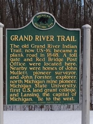
Grand River Trail
The old Grand River Indian Trail, now US-16, became a plank road in 1848. A toll gate and Red Bridge Post Office were located here. Nearby were homes of John Mullett, pioneer surveyor, and John Forester, explorer, north Michigan mine pioneer. Michigan State University, first U. S. land grant college, and Lansing, the capital of Michigan, lie to the west.
Erected 1957 by Michigan Historical Commission. (Marker Number 31.)
Topics and series. This historical marker is listed in these topic lists: Roads & Vehicles • Settlements & Settlers. In addition, it is included in the Michigan Historical Commission series list. A significant historical year for this entry is 1848.
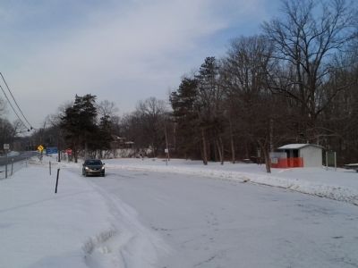
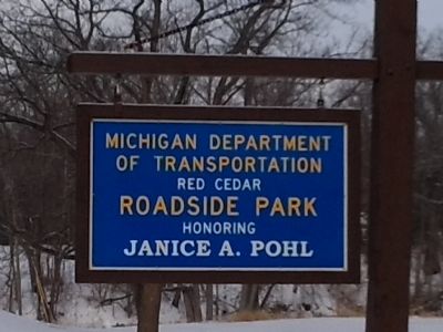
Location. 42° 42.569′ N, 84° 21.734′ W. Marker is near Williamston, Michigan, in Ingham County. It is in Williamston Township. Marker is at the intersection of State Highway 43 and Meridian Road, on the right when traveling west on State Highway 43. Touch for map. Marker is in this post office area: Williamston MI 48895, United States of America. Touch for directions.
Other nearby markers. At least 8 other markers are within 3 miles of this marker, measured as the crow flies. St. Katherine's Chapel (approx. half a mile away); Ingham County Home Cemetery (approx. 2.8 miles away); Travel in the 1800s (approx. 3 miles away); Education and Faith (approx. 3 miles away); The Farmstead (approx. 3.1 miles away); Commerce (approx. 3.1 miles away); Star Windmill (approx. 3.1 miles away); Pioneer Living (approx. 3.1 miles away).
Credits. This page was last revised on February 7, 2023. It was originally submitted on June 24, 2015, by Joel Seewald of Madison Heights, Michigan. This page has been viewed 640 times since then and 71 times this year. Photos: 1, 2, 3. submitted on June 24, 2015, by Joel Seewald of Madison Heights, Michigan. • Bill Pfingsten was the editor who published this page.


