Frankfort in Franklin County, Kentucky — The American South (East South Central)
Frankfort Bridge Site
Frankfort Bridge Site
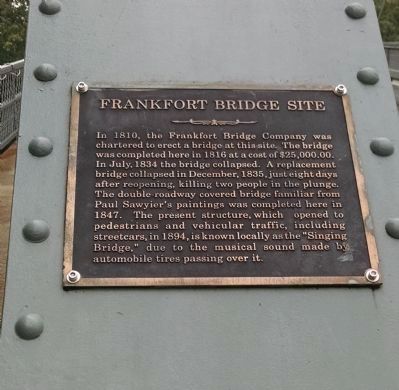
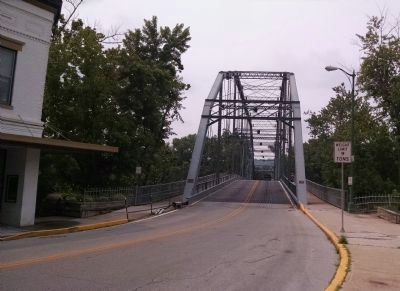
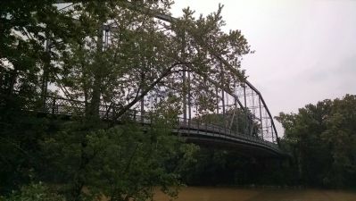
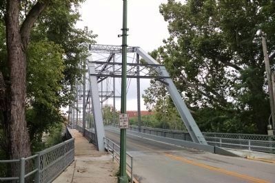
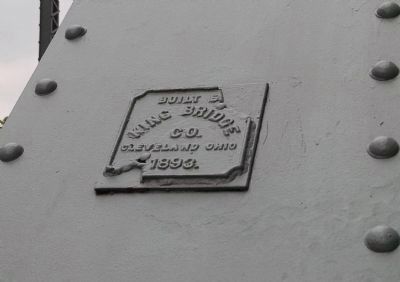
In 1810, the Frankfort Bridge Company was chartered to erect a bridge at this site. The bridge was completed here in 1816 at a cost of $25,000.00. In July, 1834 the bridge collapsed. A replacement bridge collapsed in December, 1835, just eight days after reopening, killing two people in the plunge. The double-roadway covered bridge familiar from Paul Sawyier's paintings was completed here in 1847. The present structure, which opened to pedestrians and vehicular traffic, including streetcars, in 1894, is know locally as the "Singing Bridge," due to the musical sound made by automobile tires passing over it.
Historical Enhancement of Frankfort "Singing Bridge"
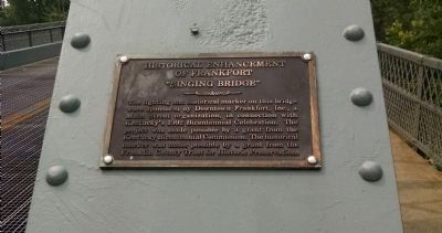
The lighting and historical marker on this bridge were sponsored by Downtown Frankfort, Inc., a Main Street organization, in connection with Kentucky's 1992 Bicentennial Celebration. The project was made possible by a grant from the Kentucky Bicentennial Commission. The historical marker was made possible by a grant from the Franklin County Trust for Historic Preservation.
Erected 1992 by Franklin County Trust for Historic Preservation.
Topics. This historical marker is listed in this topic list: Bridges & Viaducts. A significant historical month for this entry is July 1834.
Location. 38° 11.825′ N, 84° 52.728′ W. Marker is in Frankfort, Kentucky, in Franklin County. Marker is on St. Clair Street south of Wapping Street, on the left when traveling south. Touch for map. Marker is in this post office area: Frankfort KY 40601, United States of America. Touch for directions.
Other nearby markers. At least 8 other markers are within walking distance of this marker. First Baptist Church (within shouting distance of this marker); Good Shepherd Church (within shouting distance of this marker); Franklin County Veterans Memorial (about 400 feet away, measured in a direct line); The Ford - Natcher Floodwall (about 500 feet away); Paul Sawyier Library (about 500 feet away); Justice Todd House (about 500 feet away); Corner In Celebrities (about 500 feet away); Vest-Lindsey House (about 500 feet away). Touch for a list and map of all markers in Frankfort.
More about this marker. The historical marker itself is attached to the left (east) support beam when approaching from the north on St. Clair Street. Dedication marker is attached to the right (west) support beam.
Credits. This page was last revised on June 16, 2016. It was originally submitted on July 2, 2015, by Dave Knoch of Scott County, Kentucky. This page has been viewed 414 times since then and 22 times this year. Photos: 1, 2, 3, 4, 5, 6, 7. submitted on July 2, 2015, by Dave Knoch of Scott County, Kentucky. • Bill Pfingsten was the editor who published this page.
