Near Emmitsburg in Frederick County, Maryland — The American Northeast (Mid-Atlantic)
Interstate and Defense Highways
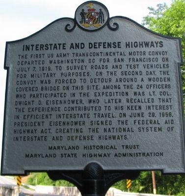
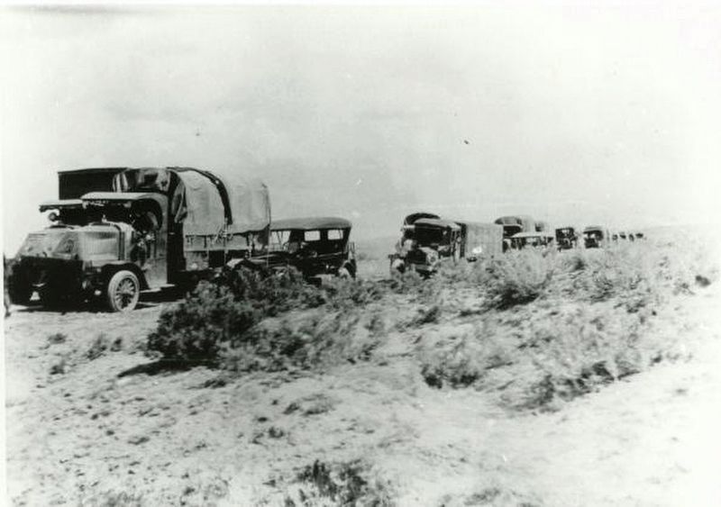
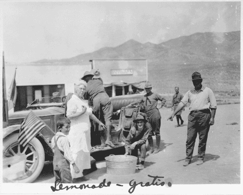
The first US Army Transcontinental Motor Convoy departed Washington DC for San Francisco on July 7, 1919, to survey roads and test vehicles for military purposes. On the second day, the convoy was forced to detour around a wooden covered bridge on this site. Among the 24 officers who participated in the expedition was Lt. Col. Dwight D. Eisenhower, who later recalled that the experience contributed to his keen interest in efficient interstate travel. On June 29, 1956, President Eisenhower signed the Federal Aid Highway Act, creating the national system of interstate and defense highways.
Erected by Maryland Historic Trust, Maryland State Highway Administration.
Topics and series. This historical marker is listed in these topic lists: Military • Roads & Vehicles. In addition, it is included in the Former U.S. Presidents: #34 Dwight D. Eisenhower series list. A significant historical date for this entry is June 29, 1956.
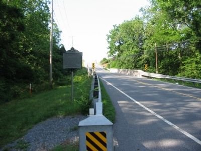
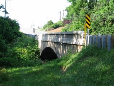
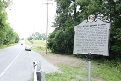
Location. 39° 41.483′ N, 77° 19.947′ W. Marker is near Emmitsburg, Maryland, in Frederick County. Marker is on South Seton Avenue (Business U.S. 15) 0.1 miles north of Old Emmitsburg Road, on the right when traveling north. Located on the north end of the bridge over Tom's Creek. Touch for map. Marker is in this post office area: Emmitsburg MD 21727, United States of America. Touch for directions.
Other nearby markers. At least 8 other markers are within walking distance of this marker. Site of St. Joseph's College (approx. 0.4 miles away); "To Lift a Nation" (approx. 0.4 miles away); St. Elizabeth Ann Seton (approx. 0.4 miles away); White Ash Tree (approx. 0.4 miles away); The White House (approx. 0.4 miles away); Fallen Firefighters Memorial (approx. 0.4 miles away); Sisters of Charity of Cincinnati (approx. half a mile away); The Bells of St. Joseph's Valley (approx. half a mile away). Touch for a list and map of all markers in Emmitsburg.
Also see . . .
1. The 1919 Transcontinental Motor Convoy. Eisenhower Presidential Library website entry (Submitted on June 22, 2008, by Craig Swain of Leesburg, Virginia.)
2. 1919 Motor Transport Corps convoy. Wikipedia entry:
“The Signal Corps filmed convoy events; and the civilians of the Goodyear band were transported from Chicago in one of the trucks. The Publicity Officer (Lt William B Doron) rode with Ostermann 2–10 days ahead of the main body, while the Recruiting Officer (Capt. Murphy) was 1–2 days ahead, and the Cook and Mess units were several hours ahead, Two motorcycles scouted about ½ hour ahead to report conditions and place markers. The 5th Engineers’ Company E of 2 officers and 20 men headed the main body with the artillery's 5½ ton Mack truck carrying a 5-ton Maxwell tractor (22,450 lbs total) in the lead followed by the machine shop and blacksmith shop trucks, and the Quartermaster Corps’ Service Park Unit 595 of 1 officer and 43 men brought up the rear (‘often separated from the main body’ while servicing disabled vehicles). In addition to 230 road incidents (stops for adjustments, extrications, breakdowns, & accidents) resulting in 9 vehicles retiring,the convoy of ‘24 expeditionary officers, 15 War Department staff observation officers, and 258 enlisted men’ had 21 injured en route who did not complete the trip. Although some ‘were really competent drivers’ by the end, the majority of soldiers were ‘raw recruits with little or no military training’; and except for the Motor Supply Company E commander (1st Lt Daniel H. Martin), troop officers had ‘meager knowledge’ of ‘handling men in the field’.” (Submitted on June 24, 2017.)
3. Interstate Highway System. Wikipedia entry:
“The Dwight D. Eisenhower National System of Interstate and Defense Highways (commonly known as the Interstate Highway System, Interstate Freeways, or simply the Interstate) is a network of controlled-access highways that forms a part of the National Highway System of the United States. The system is named for President Dwight D. Eisenhower, who championed its formation. Construction was authorized by the Federal Aid Highway Act of 1956, and the original portion was completed 35 years later, although some urban routes were cancelled and never built. The network has since been extended and, as of 2013, it had a
total length of 47,856 miles (77,017 km). As of 2013, about one-quarter of all vehicle miles driven in the country use the Interstate system. In 2006, the cost of construction was estimated at about $425 billion (equivalent to $511 billion in 2015” (Submitted on June 24, 2017.)
Credits. This page was last revised on February 26, 2022. It was originally submitted on June 22, 2008, by Craig Swain of Leesburg, Virginia. This page has been viewed 1,426 times since then and 29 times this year. It was the Marker of the Week June 25, 2017. Photos: 1, 2, 3. submitted on June 22, 2008, by Craig Swain of Leesburg, Virginia. 4. submitted on June 21, 2011, by Mike Stroud of Bluffton, South Carolina. 5, 6, 7. submitted on June 24, 2017, by J. J. Prats of Powell, Ohio.
