Raymond in Hinds County, Mississippi — The American South (East South Central)
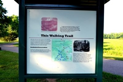
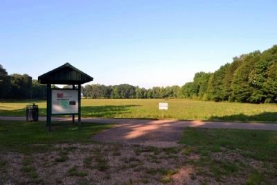
Battle of Raymond - This Walking Trail
“A single field, dotted with spots of timber, separated the Lower Gallatin and Utica Roads, and the main force of the enemy was on the latter road. Finding that I would necessarily be driven into town by his artillery unless I moved up nearer, and believing from this evidence I had that his force was a single brigade, I made my dispositions to capture it ….”
Brig. Gen. John Gregg, CSA
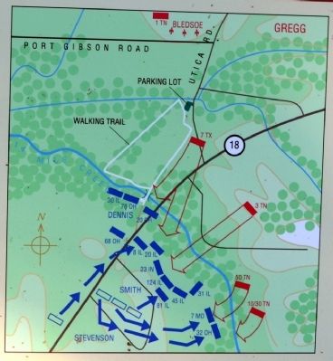
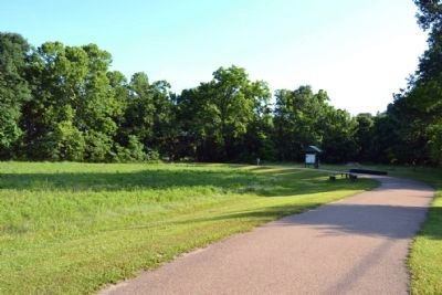
While this trail covers only a portion of the battlefield, it includes the action at the bridge across Fourteenmile Creek. The terrain provides clues as to why the battle unfolded as it did. Research indicates that weather conditions, erroneous assumptions and misinformation dramatically affected the course of the battle.
Battlefield Preservation
The Friends of Raymond appreciate your interest in their preservation efforts and ask you to be considerate of local landowners by remaining within this park.
Additional interpretation can be found at McPherson’s Ridge, one half-mile south along State Highway 18 and at Bledsoe’s Battery one half-mile north, towards town. The Raymond City Cemetery contains 140 marked Confederate graves, the results of local citizens re-interring bodies from their battlefield graves in the 1860s. Union dead buried on this battlefield were likewise removed to the newly created Vicksburg National Military Cemetery in 1867.
Topics. This historical marker is listed in this topic list: War, US Civil. A significant historical year for this entry is 1867.
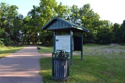
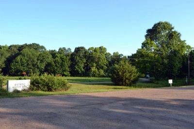
Location. 32° 14.67′ N, 90° 26.611′ W. Marker is in Raymond, Mississippi, in Hinds County. Marker can be reached from Port Gibson Street, 0.1 miles north of Mississippi Highway 18, on the left when traveling north. Marker is located at the Raymond Military Park on an exhibit kiosk at the beginning of the walking trail; the above directions are to the parking area for the park. Touch for map. Marker is in this post office area: Raymond MS 39154, United States of America. Touch for directions.
Other nearby markers. At least 8 other markers are within walking distance of this marker. The Battle of Raymond as a Pivotal Point in the Vicksburg Campaign (here, next to this marker); The Little J Railroad (here, next to this marker); The Vicksburg Campaign (here, next to this marker); C.S. Gregg's Task Force (within shouting distance of this marker); The Campaign Turns East (within shouting distance of this marker); Confederate Commanders (within shouting distance of this marker); Confederate Route to Raymond (within shouting distance of this marker); Gregg's Battle Plan (about 300 feet away, measured in a direct line). Touch for a list and map of all markers in Raymond.
Also see . . . Friends of Raymond.
Official website of the Friends of Raymond with detailed information on the Battle of Raymond and the preservation of the battlefield. (Submitted on July 4, 2015.)
Credits. This page was last revised on June 16, 2016. It was originally submitted on July 4, 2015, by Duane Hall of Abilene, Texas. This page has been viewed 591 times since then and 20 times this year. Photos: 1, 2, 3, 4, 5, 6, 7. submitted on July 4, 2015, by Duane Hall of Abilene, Texas.
