Fredericksburg, Virginia — The American South (Mid-Atlantic)
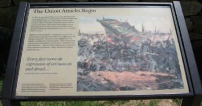
The Union Attacks Begin
The Battle of Fredericksburg
— Fredericksburg and Spotsylvania National Military Park —
Eighteen Union brigades - more than 30,000 men - successively swept across the field. For eight hours the killing continued. "Our men were slaughtered like sheep," recalled one Federal soldier. "The whole plain was covered with blankets, haversacks, wounded men and dead men.... We stood it as long as we could, and were ordered to fall back - when the whole brigade broke and run...."
Every face wore an expression of seriousness and dread....
Private Benjamin Borton, 24th New Jersey Infantry
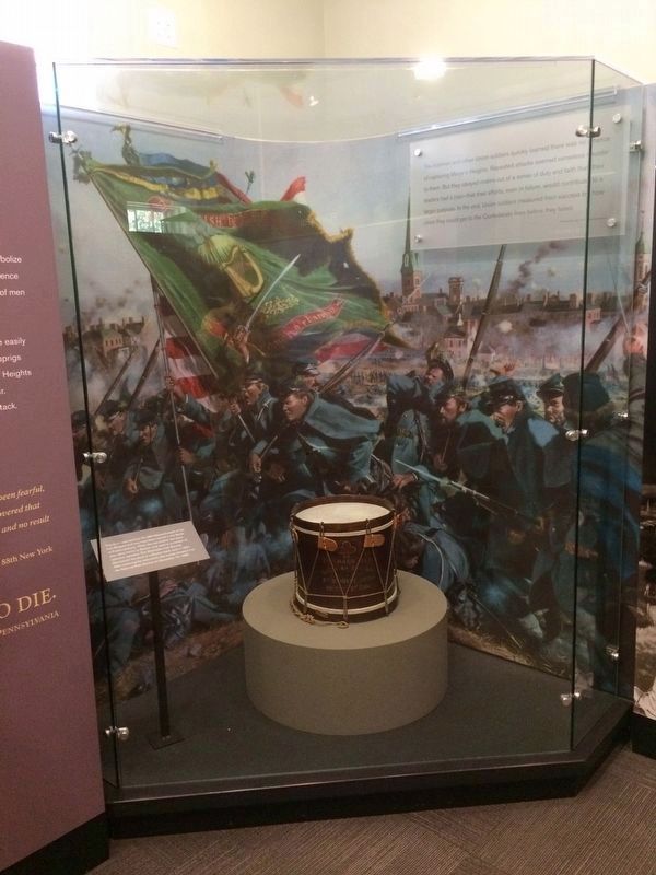
Of the many attacks made by the Union army at Fredericksburg, none was more famous than that of the Irish Brigade. Wearing sprigs of boxwood in their caps to remind them of their heritage, some men of the brigade approached to within 50 yards of the wall before withering under the Confederate fire.
Erected by National Park Service, U.S. Department of the Interior.
Topics. This historical marker is listed in this topic list: War, US Civil. A significant historical year for this entry is 1862.
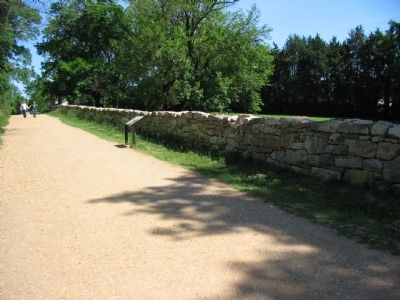
Location. 38° 17.698′ N, 77° 28.095′ W. Marker is in Fredericksburg, Virginia. Marker is at the intersection of Sunken Road and Lafayette Boulevard (Virginia Route 1), on the right when traveling north on Sunken Road. Located on the Sunken Road walking trail, which starts at the Fredericksburg battlefield visitor center. The Sunken Road is closed to vehicle traffic. Touch for map. Marker is in this post office area: Fredericksburg VA 22401, United States of America. Touch for directions.
Other nearby markers. At least 8 other markers are within walking distance of this marker. Field of Battle (a few steps from this marker); The Confederate Line (within shouting distance of this marker); Sunken Road Walking Trail (within shouting distance of this marker); Confederate Artillery (within shouting distance of this marker); Thomas R. R. Cobb (within shouting distance of this marker); Cobb (within shouting distance of this marker); Mrs. Martha Stevens (within shouting distance of this marker); The Stephens House (within shouting distance of this marker). Touch for a list and map of all markers in Fredericksburg.
More about this marker. On the right side of the marker is a painting depicting the charge of the Irish Brigade.
Credits. This page was last revised on March 5, 2023. It was originally submitted on June 23, 2008, by Craig Swain of Leesburg, Virginia. This page has been viewed 1,926 times since then and 28 times this year. Photos: 1, 2, 3. submitted on June 23, 2008, by Craig Swain of Leesburg, Virginia. 4. submitted on July 23, 2016, by J. Makali Bruton of Accra, Ghana.


