Governors Island in Manhattan in New York County, New York — The American Northeast (Mid-Atlantic)
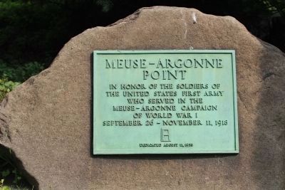
Meuse-Argonne Point
the United States First Army
who served in the
Meuse-Argonne Campaign
of World War I
September 26 - November 11, 1918
Dedicated August 11, 1958
Erected 1958.
Topics. This memorial is listed in this topic list: War, World I. A significant historical year for this entry is 1918.
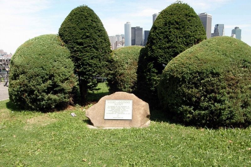
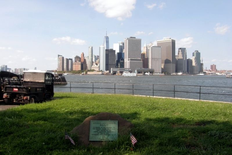
Location. 40° 41.561′ N, 74° 0.849′ W. Marker is in Manhattan, New York, in New York County. It is on Governors Island. Memorial is on Carder Road, on the left. This marker is on the north side of the island. After leaving the ferry, turn left and walk past the red brick building. It is in the opening beyond the building. Carder Road becomes Kimmel Road. There is an oyster farm (Bldg #114 - part of a NYC public school). Look on Google maps, see the route designation 478 (describing the Brooklyn-Battery (now the Hugh L Carey Tunnel). Touch for map. Marker is at or near this postal address: Building #114 (Next to), New York NY 10004, United States of America. Touch for directions.
Other nearby markers. At least 8 other markers are within walking distance of this marker. Carder Road (within shouting distance of this marker); Pershing Hall (about 400 feet away, measured in a direct line); The Pershing Oak (about 400 feet away); The New York Arsenal (about 500 feet away); a different marker also named Pershing Hall (about 500 feet away); Fort Jay (about 600 feet away); a different marker also named Fort Jay (about 600 feet away); Students and Soldiers of Freedom (about 700 feet away). Touch for a list and map of all markers in Manhattan.
Regarding Meuse-Argonne Point. Governors Island was a US Army location from 1783. It was Headquarters for the US First Army from 1939 to 1966, then it became a US Coast Guard station.
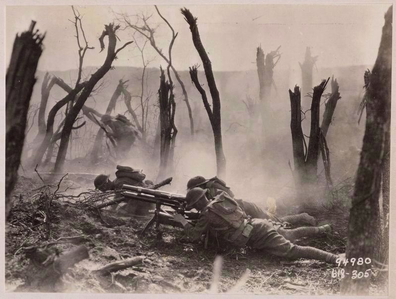
Also see . . . Meuse–Argonne offensive. (Submitted on April 5, 2020, by Larry Gertner of New York, New York.)
Credits. This page was last revised on January 31, 2023. It was originally submitted on July 5, 2015, by Philip Gilson of Brooklyn, New York. This page has been viewed 321 times since then and 4 times this year. Last updated on April 29, 2020, by Larry Gertner of New York, New York. Photos: 1. submitted on July 5, 2015, by Philip Gilson of Brooklyn, New York. 2. submitted on April 5, 2020, by Larry Gertner of New York, New York. 3. submitted on April 30, 2020, by Larry Gertner of New York, New York. 4. submitted on April 5, 2020, by Larry Gertner of New York, New York. • J. Makali Bruton was the editor who published this page.


