Raymond in Hinds County, Mississippi — The American South (East South Central)
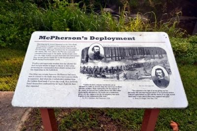
McPherson's Deployment
Windless and oppressive weather that day allowed the dust and gun smoke to linger in the air in this valley, preventing the commanders from clearly seeing what was happening on the battlefield.
One thing was certain, however. McPherson had more men to commit to the battle than they had room in which to maneuver. And when the Confederates coming from the Gallatin Road made it across the creek, they suddenly found themselves confronted by far more Federals than they expected.
“Captain Boone’s company was thrown out as skirmishers, while we formed along the road in an excellent defensive position. While waiting here for the advance of the enemy, we learned that Captain Boone was killed while deploying his skirmishers. His death cast a momentary gloom over the regiment but the circumstance was soon forgotten in the excitement of the hour.”
Pvt. W.J. Davidson, 41st Tennessee, CSA
“The regiment to the right of us was giving way but just as the line was wavering and about to be hopelessly broken General Logan dashed up and with the shriek of an eagle turned them back to their places which they regained and held.”
Lt. Henry O. Dwight, 20th Ohio, USA
Topics. This historical marker is listed in this topic list: War, US Civil.
Location. 32° 14.448′ N, 90° 26.723′ W. Marker is in Raymond, Mississippi, in Hinds County. Marker can be reached from Port Gibson Street, 0.1 miles north of Mississippi Highway 18, on the left when traveling north. Marker is located in the main part of the Raymond Military Park; the above directions are to the parking area for the park. Touch for map. Marker is in this post office area: Raymond MS 39154, United States of America. Touch for directions.
Other nearby markers. At least 8 other markers are within walking distance of this marker. U.S. 8th Battery, Michigan Light Artillery (here, next to this marker); DeGolyer's Battery and the Artist's Eye (within shouting distance of this marker); Eyewitnesses in the Storm (within shouting distance of this marker); Battle of Raymond (within shouting distance of this marker); King of Battle (about 300 feet away, measured in a direct line); A "Soldiers' Battle" in the Underbrush
(about 500 feet away); Texas Memorial (approx. 0.2 miles away); U.S. Battery D, 1st Illinois Light Artillery (approx. 0.2 miles away). Touch for a list and map of all markers in Raymond.
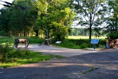
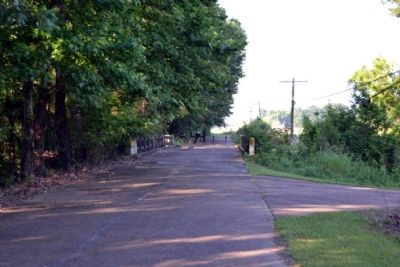
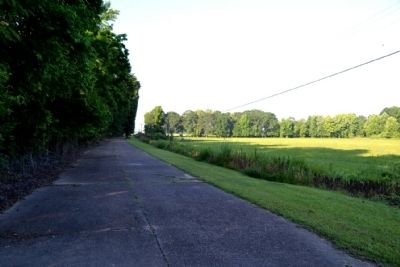
More about this marker. Marker is located along the Raymond Military Park walking trail just across Fourteen Mile Creek. It is a ¼ mile walk from the parking area to the marker.
Also see . . . Friends of Raymond. Official website of the Friends of Raymond with detailed information on the Battle of Raymond and the preservation of the battlefield. (Submitted on July 5, 2015.)
Credits. This page was last revised on June 16, 2016. It was originally submitted on July 5, 2015, by Duane Hall of Abilene, Texas. This page has been viewed 378 times since then and 12 times this year. Photos: 1, 2, 3, 4. submitted on July 5, 2015, by Duane Hall of Abilene, Texas.


