Jeanerette in Iberia Parish, Louisiana — The American South (West South Central)
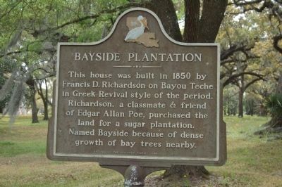
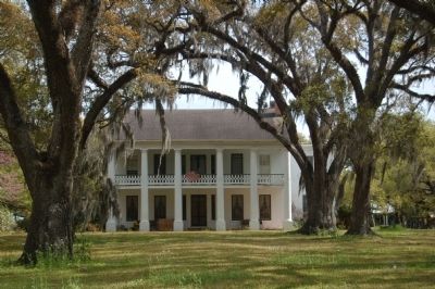
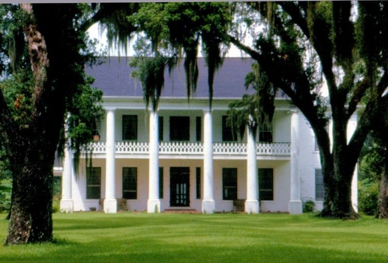
Bayside Plantation
Erected 1970 by Louisiana Tourist Commission.
Topics. This historical marker is listed in these topic lists: Agriculture • Architecture • Settlements & Settlers. A significant historical year for this entry is 1850.
Location. 29° 55.919′ N, 91° 40.868′ W. Marker is in Jeanerette, Louisiana, in Iberia Parish. Marker is on Old Jeanerette Road (State Highway 87) 0.1 miles north of Bayside Street (Route 3182), on the right when traveling north. Touch for map. Marker is in this post office area: Jeanerette LA 70544, United States of America. Touch for directions.
Other nearby markers. At least 8 other markers are within 9 miles of this marker, measured as the crow flies. Alice Plantation House (approx. half a mile away); Harry B. Hewes House (approx. 1.2 miles away); St. John The Evangelist Church Parish (approx. 1.3 miles away); Nicholas Provôt (approx. 2 miles away); Beau Pre-Circa 1828 (approx. 2.2 miles away); Sorrel (approx. 4.7 miles away); Olivier Plantation (approx. 7.1 miles away); Sugar Cane Festival and Fair Building (approx. 9.1 miles away). Touch for a list and map of all markers in Jeanerette.
Credits. This page was last revised on February 2, 2020. It was originally submitted on July 5, 2015. This page has been viewed 699 times since then and 41 times this year. Photos: 1, 2. submitted on July 5, 2015. 3. submitted on September 15, 2017, by David Seibert of Sandy Springs, Georgia. • Bernard Fisher was the editor who published this page.
Editor’s want-list for this marker. A wide view photo of the marker and the surrounding area in context. • Can you help?


