Basking Ridge in Somerset County, New Jersey — The American Northeast (Mid-Atlantic)
Basking Ridge
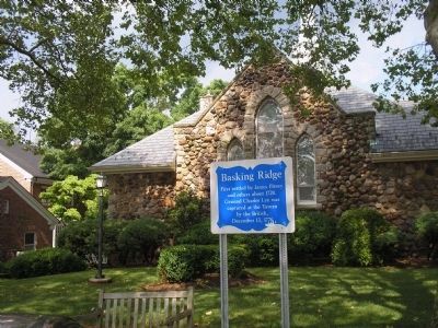
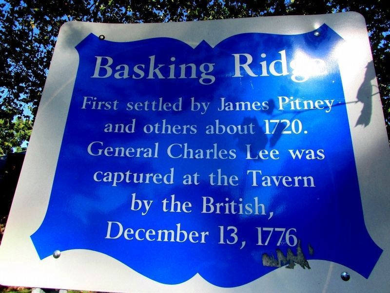
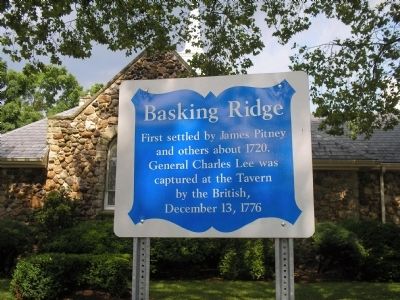
First settled by James Pitney and others about 1720. General Charles Lee was captured at the Tavern by the British, December 13, 1776.
Topics. This historical marker is listed in these topic lists: Notable Places • War, US Revolutionary. A significant historical year for this entry is 1720.
Location. 40° 42.368′ N, 74° 32.949′ W. Marker is in Basking Ridge, New Jersey, in Somerset County. Marker is on N Finley Avenue (County Route 613), on the right when traveling south. Touch for map. Marker is in this post office area: Basking Ridge NJ 07920, United States of America. Touch for directions.
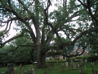
Other nearby markers. At least 8 other markers are within walking distance of this marker. Bernards Township War Memorial (within shouting distance of this marker); Early Church (within shouting distance of this marker); Basking Ridge Presbyterian Church Graveyard (within shouting distance of this marker); The Brick Academy (about 300 feet away, measured in a direct line); a different marker also named Basking Ridge (approx. 0.2 miles away); Southard Park (approx. 0.4 miles away); Site of Widow White’s Tavern (approx. half a mile away); Bernards Township 9-11 Memorial (approx. half a mile away). Touch for a list and map of all markers in Basking Ridge.
Also see . . . Basking Ridge, New Jersey. Wikipedia entry (Submitted on December 3, 2021, by Larry Gertner of New York, New York.)

Photographed By Bill Coughlin, June 22, 2008
3. Marker on N Finley Avenue
Many Revolutionary War soldiers marched past this location on their way to their encampment in Morristown. The Widow White’s Tavern, where Gen. Charles Lee was captured by the British, was located a few blocks south of the marker.
Credits. This page was last revised on December 3, 2021. It was originally submitted on June 23, 2008, by Bill Coughlin of Woodland Park, New Jersey. This page has been viewed 1,409 times since then and 36 times this year. Photos: 1. submitted on August 18, 2016, by Bill Coughlin of Woodland Park, New Jersey. 2, 3, 4. submitted on June 23, 2008, by Bill Coughlin of Woodland Park, New Jersey.


