Baton Rouge in East Baton Rouge Parish, Louisiana — The American South (West South Central)
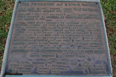
The Founding Of Baton Rouge
Earliest written records about Baton Rouge were provided by members of Iberville's expedition on March 17, 1699:
"From there (Bayou Manchac) we ascended five leagues farther, where we found very high banks, which in that country were called bluffs, and in the Indian tongue Istrouma which means Baton Rouge, because there is at this place a pole painted red, which the Indians had erected to mark the dividing line of the lands of the two nations, to wit: that of the Bayougoulas whence we had come, from another 30 leagues above Baton Rouge called the Oumas (Houmas)."
This red stick was erected on May 13, 1967, during the 150th anniversary of the incorporation of the City of Baton Rouge.
Erected 1967 by City of Baton Rouge.
Topics. This historical marker is listed in these topic lists: Colonial Era • Exploration • Native Americans • Settlements & Settlers. A significant historical month for this entry is March 1985.
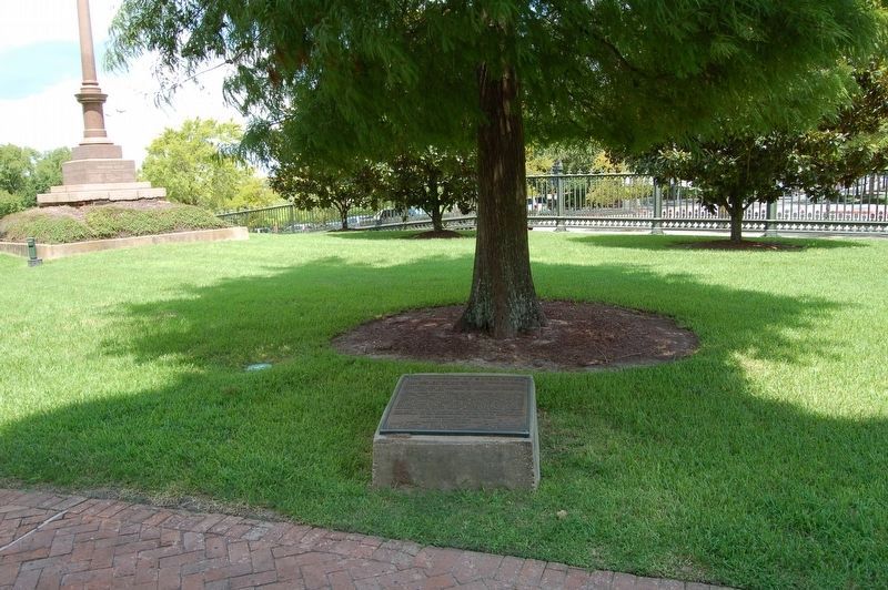
Location. 30° 26.805′ N, 91° 11.356′ W. Marker is in Baton Rouge, Louisiana, in East Baton Rouge Parish. Marker can be reached from the intersection of North Boulevard and Layfayette Street, on the left when traveling west. Located on the the north side of the Old State Capitol building. Touch for map. Marker is at or near this postal address: 100 North Boulevard, Baton Rouge LA 70801, United States of America. Touch for directions.
Other nearby markers. At least 8 other markers are within walking distance of this marker. Old State Capitol (within shouting distance of this marker); a different marker also named Old State Capitol (within shouting distance of this marker); Battle of Baton Rouge (within shouting distance of this marker); a different marker also named Old State Capitol (within shouting distance of this marker); Merci Train (within shouting distance of this marker); Slim Harpo (within shouting distance of this marker); a different marker also named Old State Capitol (within shouting distance of this marker); Louisiana's Old State Capitol (within shouting distance of this marker). Touch for a list and map of all markers in Baton Rouge.
Also see . . . The Founding of the Red Stick - How Baton Rouge Got its name. The Red Stick Sculpture (Submitted on September 24, 2020.)
Credits. This page was last revised on August 11, 2023. It was originally submitted on July 9, 2015. This page has been viewed 737 times since then and 34 times this year. Photos: 1. submitted on July 9, 2015. 2. submitted on August 6, 2016. • Bernard Fisher was the editor who published this page.

