Knossos in Irákleio, Crete, Greece — Ελλάδα (Southeastern Europe, Balkan Peninsula)
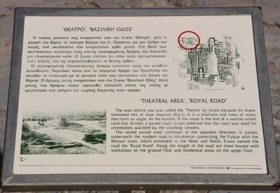
"Theatral Area", "Royal Road"
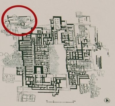
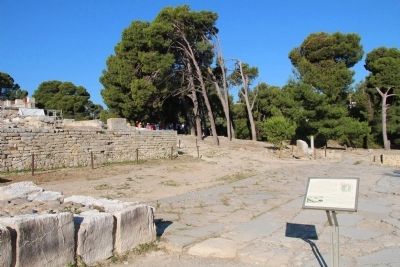
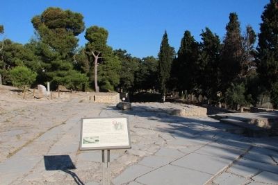
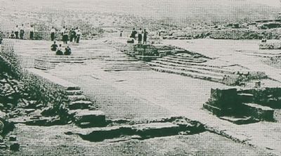
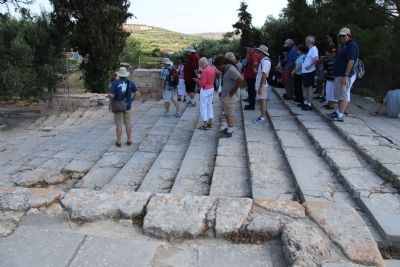
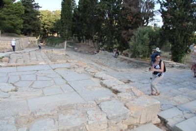
The area before you was called the "Theatre" by Evans because its shape reminded him of later theatres (Figure 1). It is a platform and rows of steps that form an angle. At the bottom of the steps is the end of a narrow raised road that divides a paved court. Evans believed that the court was used for ceremonies watched by the standing viewers.
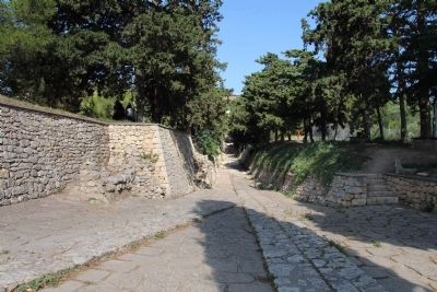
The raised paved road continues in the opposite direction. It passes underneath the modern road to Herakleion connecting the Palace with the Minoan town, which extended to the West and North. Evans named the road the "Royal Road". Along the length of the road are town houses with workshops on the ground floor and residential areas on the upper floor.
Topics. This historical marker is listed in this topic list: Notable Places.
Location. 35° 17.909′ N, 25° 9.773′ E. Marker is in Knossos, Crete, in Irákleio. Marker can be reached from Dedalou south of Glafkou, on the left when traveling south. This marker is located on the island of Crete, just south of the capital city of Heraklion, in the Palace of Knossos archaeological park, and you must be walking on the grounds of the archaeological park in oder to see this marker. Touch for map. Marker is in this post office area: Knossos, Crete 714 09, Greece. Touch for directions.
Other nearby markers. At least 8 other markers are within walking distance of this marker. "North Lustral Basin" (a few steps from this marker); North Entrance, North Pillar Hall (within shouting distance of this marker); Conservation - restoration of the "West Magazines" (within shouting distance of this marker); "Throne Room" (within shouting distance of this marker); West Wing (within shouting distance of this marker); West Magazines (within shouting distance of this marker); "Kouloures" (within shouting distance of this marker); "Piano Nobile" (within shouting distance of this marker). Touch for a list and map of all markers in Knossos.
Related markers. Click here for a list of markers that are related to this marker. To better understand the relationship, study each marker in the order shown.
Credits. This page was last revised on March 21, 2022. It was originally submitted on July 13, 2015, by Dale K. Benington of Toledo, Ohio. This page has been viewed 443 times since then and 46 times this year. Photos: 1, 2, 3, 4, 5, 6, 7, 8. submitted on July 13, 2015, by Dale K. Benington of Toledo, Ohio.
