Bridgeport in Harrison County, West Virginia — The American South (Appalachia)
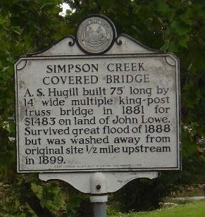
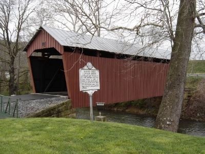
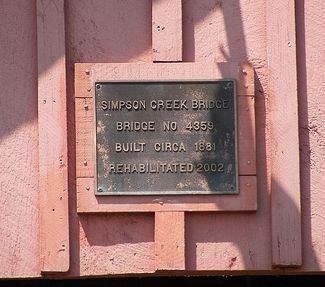
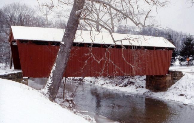
Simpson Creek Covered Bridge
A. S. Hugill built 75' long by 14' wide multiple king-post truss bridge in 1881 for $1483 on land of John Lowe. Survived great flood of 1888 but was washed away from original site 1/2 miles upstream in 1899.
Erected 1983 by West Virginia Department of Culture and History.
Topics and series. This historical marker is listed in these topic lists: Bridges & Viaducts • Waterways & Vessels. In addition, it is included in the Covered Bridges, and the West Virginia Archives and History series lists. A significant historical year for this entry is 1881.
Location. 39° 18.514′ N, 80° 16.762′ W. Marker is in Bridgeport, West Virginia, in Harrison County. Marker is on Despard-Summit Park Road (County Route 24/7) near Bridgeport-Meadowbrook Road (County Route 24). Touch for map. Marker is in this post office area: Bridgeport WV 26330, United States of America. Touch for directions.
Other nearby markers. At least 8 other markers are within 3 miles of this marker, measured as the crow flies. Combat Wounded (approx. 1.4 miles away); a different marker also named Combat Wounded (approx. 1.6 miles away); Bridgeport (approx. 2 miles away); In Memory of Aaron Smith (approx. 2.1 miles away); John Powers' Fort (approx. 2.2 miles away); Benedum Civic Center (approx. 2.2 miles away); Bridgeport Veterans Memorial (approx. 2.3 miles away); Old Baptist Cemetery (approx. 2.4 miles away). Touch for a list and map of all markers in Bridgeport.
Also see . . . Simpson Creek Covered Bridge. West Virginia Department of Transportation website entry:
According to local legend, Joseph Johnson laid out lots near the first Simpson Creek Bridge. As the community began to grow and more people used the bridge as a port or gateway to cross Simpson Creek, Johnson combined the words and called the town “Bridgeport.” (Submitted on June 25, 2008, by Kevin W. of Stafford, Virginia.)
Credits. This page was last revised on July 31, 2023. It was originally submitted on June 25, 2008, by Kevin W. of Stafford, Virginia. This page has been viewed 2,060 times since then and 25 times this year. Photos: 1, 2, 3, 4. submitted on June 25, 2008, by Kevin W. of Stafford, Virginia.


