Old Town West in Alexandria, Virginia — The American South (Mid-Atlantic)
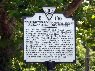
Washington-Rochambeau Route
Alexandria Encampment
Erected 1998 by Department of Historic Resources. (Marker Number E-106.)
Topics and series. This historical marker is listed in this topic list: War, US Revolutionary. In addition, it is included in the The Washington-Rochambeau Route, and the Virginia Department of Historic Resources (DHR) series lists. A significant historical year for this entry is 1781.
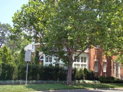
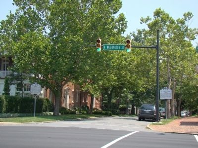
Location. 38° 48.578′ N, 77° 2.747′ W. Marker is in Alexandria, Virginia. It is in Old Town West. Marker is at the intersection of Oronoco Street and North Washington Street (Virginia Route 400), on the left when traveling east on Oronoco Street. Touch for map. Marker is in this post office area: Alexandria VA 22314, United States of America. Touch for directions.
Other nearby markers. At least 8 other markers are within walking distance of this marker. Lee-Fendall House (a few steps from this marker); a different marker also named Lee-Fendall House (a few steps from this marker); Home of Edmund Jennings Lee (within shouting distance of this marker); Potts-Fitzhugh-Lee House (within shouting distance of this marker); From Factory to Housing (within shouting distance of this marker); Grosvenor Hospital (within shouting distance of this marker); Historic Street (about 400 feet away, measured in a direct line); a different marker also named Historic Street (about 500 feet away). Touch for a list and map of all markers in Alexandria.
Credits. This page was last revised on January 28, 2023. It was originally submitted on June 26, 2008, by J. J. Prats of Powell, Ohio. This page has been viewed 2,532 times since then and 50 times this year. Photos: 1, 2, 3. submitted on June 26, 2008, by J. J. Prats of Powell, Ohio.


