Volcano in Amador County, California — The American West (Pacific Coastal)
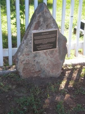
John Doble's Cabin
His daily journal, and his letters to Miss Lizze E. Lucas, is an unprecedented look back at the life and times of a pioneer in Volcano and what would become Amador County. Gone are the camps and gulches he prospected in but his descriptions and maps of the area keep them alive for future explorers of gold rush history.
that the James W. Marshall #49 Outpost of the Yerba Buena #1
“The Mother Lodge” of the
Ancient and Honorable Order of E Clampsus Vitus
dedicate this plaque to the site John Doble’s Cabin.
Erected 2011 by The James W. Marshall #49 Outpost of the Ancient and Honorable Order of E Clampus Vitus.
Topics and series. This historical marker is listed in this topic list: Notable Places. In addition, it is included in the E Clampus Vitus series list. A significant historical month for this entry is July 1896.
Location. Marker has been reported missing. It was located near 38° 26.607′ N, 120° 37.79′ W. Marker was in Volcano, California, in Amador County. Marker was on Plug Street, 0.1 miles north of Consultation Avenue, on the right when traveling north. The marker is located about half way up Plug Street on the right hand side if you're traveling from Consultation Avenue. Touch for map. Marker was in this post office area: Volcano CA 95689, United States of America. Touch for directions.
Other nearby markers. At least 8 other markers are within walking distance of this location. Union Hotel (about 300 feet away, measured in a direct line); The Old Bavarian Brewery (about 300 feet away); The Thomas Starr King Bell (about 400 feet away); Astronomical Observatory (about 500 feet away); Volcano (about 500 feet away); Soldier Gulch (about 500 feet away); a different marker also named Volcano (about 500 feet away); Carlo Andrea Dondero (about 600 feet away). Touch for a list and map of all markers in Volcano.
More about this marker. The marker is mounted next to a private picket fence, please don't block the gate if you stop to read the plaque.
Credits. This page was last revised on June 16, 2016. It was originally submitted on November 10, 2011, by Matt "Benjamin Franklin" Havens of Pine Grove, California. This page has been viewed 930 times since then and 14 times this year. Last updated on July 21, 2015, by James King of San Miguel, California. Photo 1. submitted on November 10, 2011, by Matt "Benjamin Franklin" Havens of Pine Grove, California. • Bill Pfingsten was the editor who published this page.
