Allen Park in Wayne County, Michigan — The American Midwest (Great Lakes)
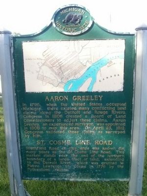
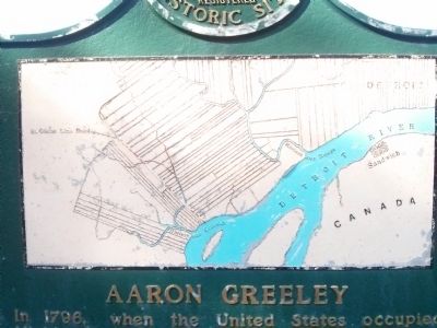
Aaron Greeley / St. Cosme Line Road
Erected 1975 by Michigan History Division, Department of State. (Marker Number S366.)
Topics and series. This historical marker is listed in these topic lists: Roads & Vehicles • Settlements & Settlers. In addition, it is included in the Michigan Historical Commission series list. A significant historical month for this entry is April 1974.
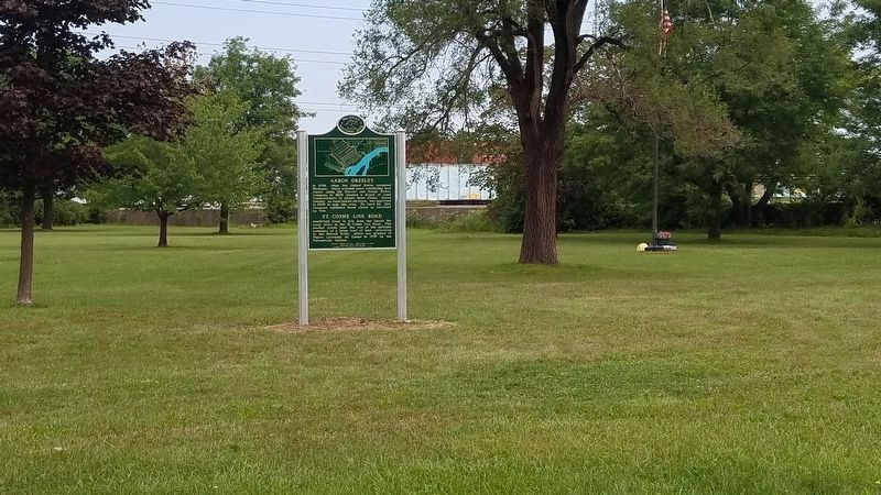
Location. 42° 15.89′ N, 83° 13.371′ W. Marker is in Allen Park, Michigan, in Wayne County. Marker can be reached from Michigan Route 39, 0.3 miles south of Interstate 94. The marker is located in Cunningham Park which is located south of I-94 and west of MI-39 (Southfield Rd). There is no formal address for the park. The park is accessible from Pinecrest Dr. If traveling south on MI-39, turn right at the first light south of I-94. Travel one block to Larme Ave and turn right. Travel north about 275 feet to State St then left on State St. The park will be on your right. If traveling north on MI-39 turn left at Pinecrest Dr. Pinecrest Dr. is the last intersection before entering the MI-39 freeway north. Travel one block to Larme Ave and turn right. Travel north about 275 feet and then left on State St. The park will be on your right. Touch for map. Marker is in this post office area: Allen Park MI 48101, United States of America. Touch for directions.
Other nearby markers. At least 8 other markers are within 3 miles of this marker, measured as the crow flies. The Allen Park VA Medical Center (approx. one mile away); Piccard Stratosphere Flight / William B. Stout School (approx. 2 miles away); Nowlin Cemetery / Nowlin Family (approx. 2.2 miles away); The Dearborn Inn / Colonial Homes and Adjacent Buildings (approx. 2.2 miles away); The Ford Airport / Ford Tri-Motor (approx. 2.3 miles away); Lincoln Park Post Office (approx. 2˝ miles away); Goodell School Bell (approx. 2˝ miles away); Daggett Farmhouse (approx. 2.7 miles away).
More about this marker. The marker was recently refurbished
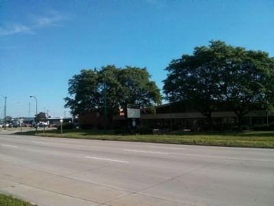
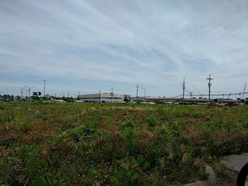
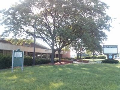
and moved from its original location at 16850 Southfield Road. The marker is located in Cunningham Park which is about 900 feet to the northwest of the original location, across MI-39. The original site was the former Allen Park City Hall property. The property was sold which necessitated the move.
Additional commentary.
1. Marker previously removed.
The Aaron Greeley/St.Cosme Line Road Historic Marker was removed from its original location at 16850 Southfield Road when the city sold the property in 2015. Permission was received from the Michigan Historical Commission to move the marker in late 2017. The marker has been just been returned from being refurbished, and relocated to Cunningham Park. Cunningham Part is located across Southfield Road north of Pinecrest Boulevard.
— Submitted August 20, 2019, by James Grose of Allen Park, Michigan.
Additional keywords. French Ribbon Farms French Long Lots
Credits. This page was last revised on August 17, 2021. It was originally submitted on July 22, 2015, by Joel Seewald of Madison Heights, Michigan. This page has been viewed 628 times since then and 37 times this year. Last updated on September 2, 2020, by James Grose of Allen Park, Michigan. Photos: 1, 2. submitted on July 22, 2015, by Joel Seewald of Madison Heights, Michigan. 3. submitted on September 2, 2020, by James Grose of Allen Park, Michigan. 4. submitted on July 22, 2015, by Joel Seewald of Madison Heights, Michigan. 5. submitted on June 25, 2018, by Joel Seewald of Madison Heights, Michigan. 6. submitted on July 22, 2015, by Joel Seewald of Madison Heights, Michigan. • Mark Hilton was the editor who published this page.
