Near Sandhill in Madison County, Mississippi — The American South (East South Central)
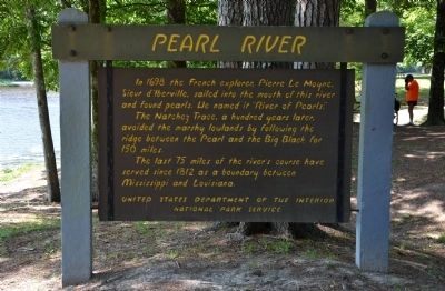
Pearl River
The Natchez Trace, a hundred years later, avoided the marshy lowlands by following the ridge between the Pearl and the Big Black for 150 miles.
The last 75 miles of the river's course have served since 1812 as a boundary between Mississippi and Louisiana.
Erected by United States Department of the Interior, National Park Service.
Topics and series. This historical marker is listed in these topic lists: Exploration • Settlements & Settlers • Waterways & Vessels. In addition, it is included in the Natchez Trace series list. A significant historical year for this entry is 1698.
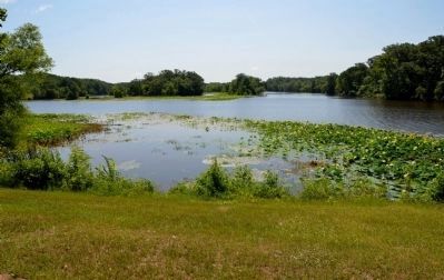
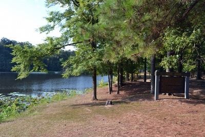
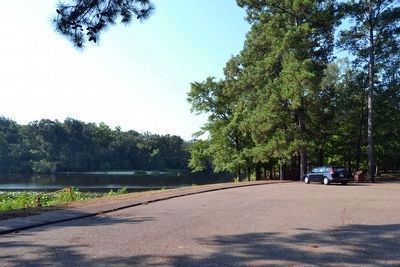
Location. 32° 35.088′ N, 89° 51.676′ W. Marker is near Sandhill, Mississippi, in Madison County. Marker can be reached from Natchez Trace Parkway (at milepost 122), 1.1 miles south of Ratliff Ferry Road, on the left when traveling south. Marker is located at the River Bend pulloff on the east side of the Natchez Trace Parkway, along the edge of the parking area and near the river's shore. Touch for map. Marker is in this post office area: Canton MS 39046, United States of America. Touch for directions.
Other nearby markers. At least 8 other markers are within 10 miles of this marker, measured as the crow flies. Tupelo–Baldcypress Swamp (approx. 0.6 miles away); Choctaw Boundary (approx. 5˝ miles away); Southern Pines (approx. 5˝ miles away); Natchez Trace at Madisonville (approx. 7.9 miles away); Confederate Monument (approx. 9.8 miles away); Harvey's Scouts Monument (approx. 9.8 miles away); Howcutt Monument (approx. 10 miles away); Old Madison County Jail (approx. 10.1 miles away).
More about this marker. This marker is one of the available historic sites along the Natchez Trace Parkway, a unit of the National Park Service.
Credits. This page was last revised on June 16, 2016. It was originally submitted on July 24, 2015, by Karl Stelly of Gettysburg, Pennsylvania. This page has been viewed 614 times since then and 57 times this year. Photos: 1, 2. submitted on July 24, 2015, by Karl Stelly of Gettysburg, Pennsylvania. 3, 4. submitted on August 21, 2015, by Duane Hall of Abilene, Texas. • Bernard Fisher was the editor who published this page.


