Destrahan in St. Charles Parish, Louisiana — The American South (West South Central)
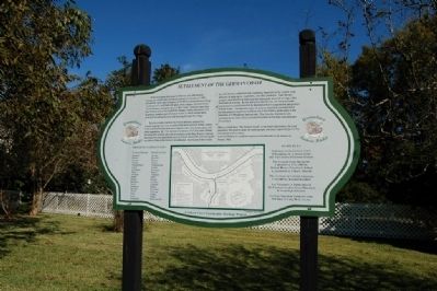
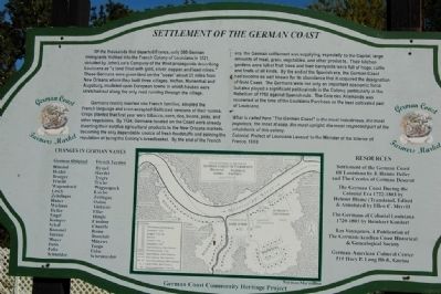
Settlement Of The German Coast
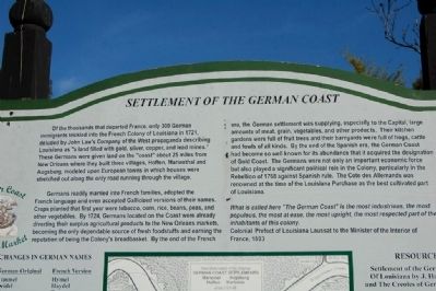
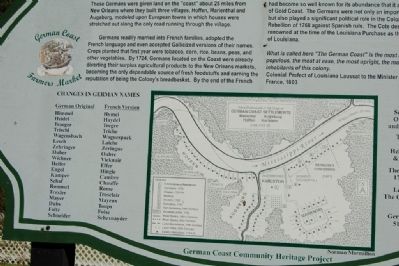
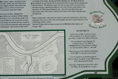
Germans readily married into French families, adopted the French language and even accepted Gallicized versions of their names. Crops planted that first year were tobacco, corn, rice, beans, peas and other vegetables. By 1724 Germans located on the Coast were already diverting their surplus agricultural products to the New Orleans markets, becoming the only dependable source of fresh foodstuffs and earning the reputation of being the Colony's breadbasket. By the end of the French era, the German settlement was supplying, especially to the Capital, large amounts of meat, grain, vegetables and other products. Their kitchen gardens were full of fruit trees and their barnyards were full of hogs, cattle and fowls of all kinds. By the end of the Spanish era, the German Coast had become so well known for its abundance that it acquired the designation of Gold Coast. The Germans were not only an important economic force but also played a significant political role in the Colony, particularly in the Rebellion of 1768 against the Spanish rule. The Cotes des Allemands was renowned at the time of the Louisiana Purchase as the best cultivated part of Louisiana.
What is called here "The German Coast" is the most industrious, the most populous, the most at ease, the most upright, the most respected part of the inhabitants of this colony.
Colonial Prefect of Louisiana Laussat to the Minister of the Interior of France, 1803
Erected by German Coast Community Heritage Project.
Topics. This historical marker is listed in this topic list: Settlements & Settlers. A significant historical year for this entry is 1721.
Location. 29° 57.251′ N, 90° 23.177′ W. Marker is in Destrahan, Louisiana, in St. Charles Parish. Marker can be reached from River Road (State Highway 48) 0.3 miles south of Ormond Boulevard, on the left when traveling south. Marker is located in the parking lot for the Ormond Plantation complex. Touch for map. Marker is at or near this postal address: 13786 River Road, Destrehan LA 70047, United States of America. Touch for directions.
Other nearby markers. At least 8 other markers are within 2 miles of this marker, measured as the crow flies. "Denver" (within shouting distance of this marker); St. Charles Borromeo "Little Red Church" (approx. 0.7 miles away); Saint Charles Borromeo Church (approx. ¾ mile away); Fashion Plantation (approx. one mile away); Hale Boggs Bridge (approx. one mile away); George Prince Ferry Memorial (approx. one mile away); L'Anse Aux Outardes (approx. 1.2 miles away); a different marker also named Hale Boggs Bridge (approx. 1.3 miles away). Touch for a list and map of all markers in Destrahan.
More about this marker. Location is also the location for weekly German Coast Farmers Market held every Saturday morning.
Also see . . .
1. German Coast Farmers' Market. (Submitted on July 27, 2015.)
2. Ormond Plantation. (Submitted on July 27, 2015.)
Credits. This page was last revised on June 16, 2016. It was originally submitted on July 25, 2015. This page has been viewed 1,010 times since then and 96 times this year. Photos: 1, 2, 3, 4, 5. submitted on July 25, 2015. • Bernard Fisher was the editor who published this page.
